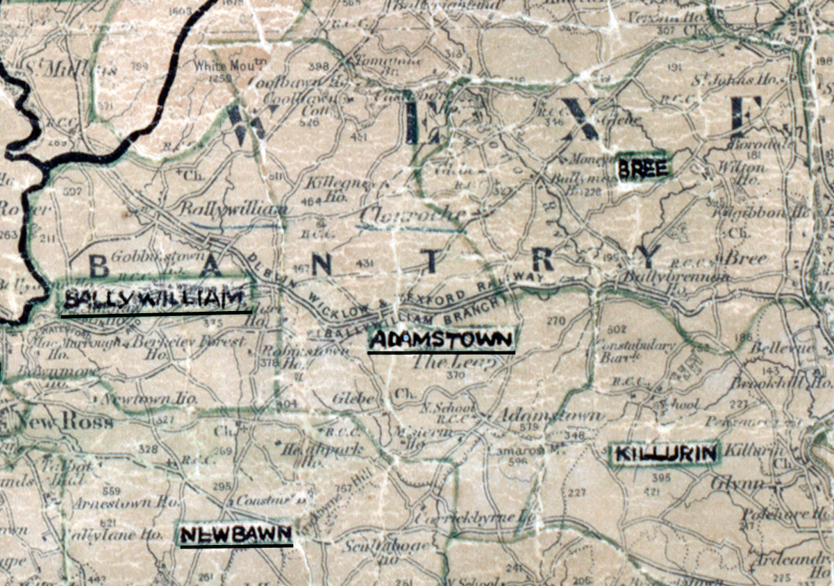
 Area: Adamstown
Started: September 1955
Finished: February 1956
Poles used: 1415
Line used (km): 128
Premises connected: 242
The figures above were sourced from our REO News magazine, to learn more about what these figures mean, visit our interactive map. The map above shows the area boundary and is from a digitised version of the original map used during the scheme..
Prospects for additional sales looked good in Adamstown according to The REO News from May 1956.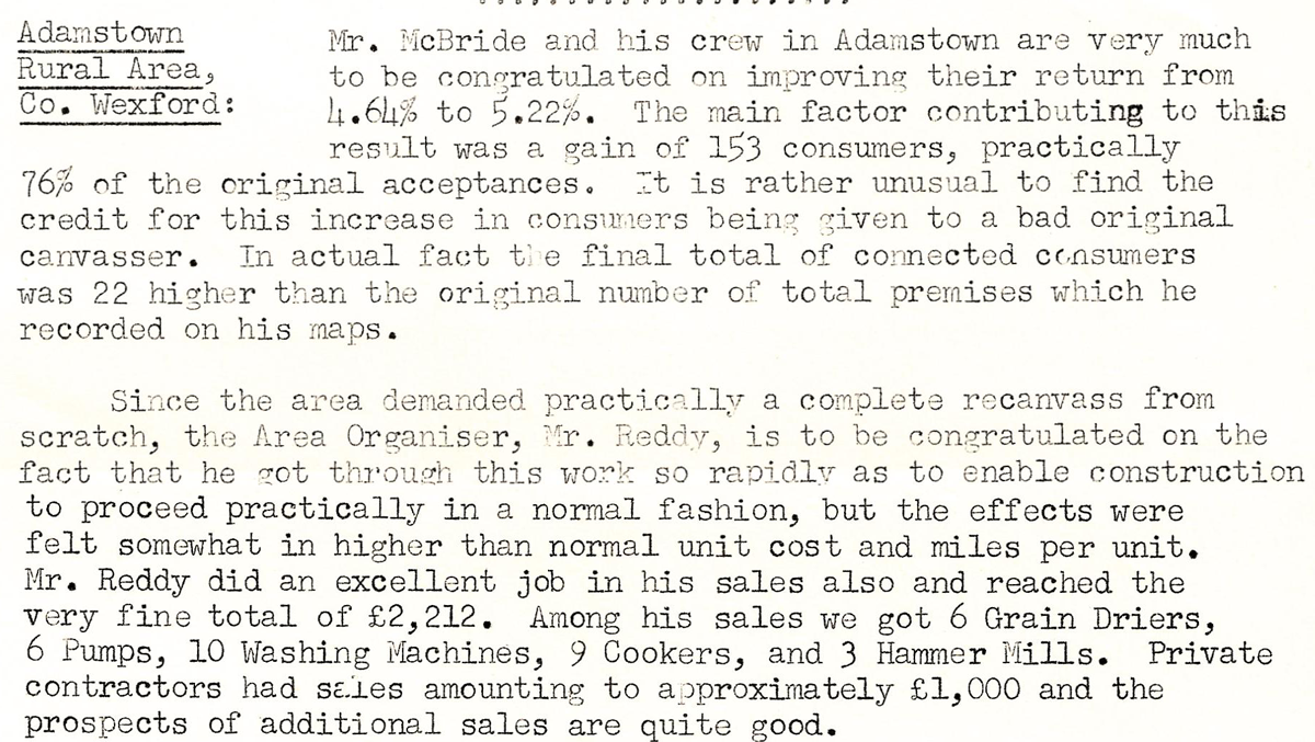 This digital scan from the REO News displays the following text:
“Rural Area, Co. Wexford: Mr. McBride and his crew in Adamstown are very much to be congratulated on improving their return from 4.64% to 5.22%. The main factor contributing to this result was a gain of 153 consumers, practically 76% of the original acceptances. It is rather unusual to find the credit for this increase in consumers being given to a bad original canvasser. In actual fact the final total of connected consumers was 22 higher than the original number of total premises which he recorded on his maps.
Since the area demanded practically a complete recanvass from scratch, the Area Organiser, Mr. Reddy, is to be congratulated on the fact that he got through this work so rapidly as to enable construction to proceed practically in a normal fashion, but the effects were felt somewhat in higher than normal unit cost and miles per unit. Mr. Reddy did an excellent job in his sales also and reached the very fine total of £2,212. Among his sales we got 6 Grain Driers, 6 Pumps, 10 Washing Machines, 9 Cookers, and 3 Hammer Mills. Private contractors had sales amounting to approximately £1,000 and the prospects of additional sales are quite good."