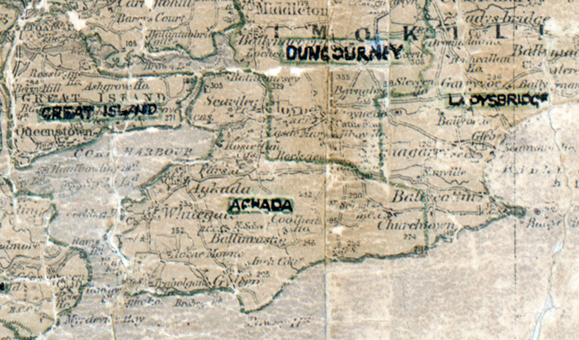
Area: Aghada
Started: December 1950
Finished: July 1951
Poles used: 789
Line used (km): 73
Premises connected: 6
The figures above were sourced from our REO News magazine, to learn more about what these figures mean, visit our interactive map. The map above shows the area boundary and is from a digitised version of the original map used during the scheme.
There was an encouraging report regarding Aghada in The REO News from August 1951.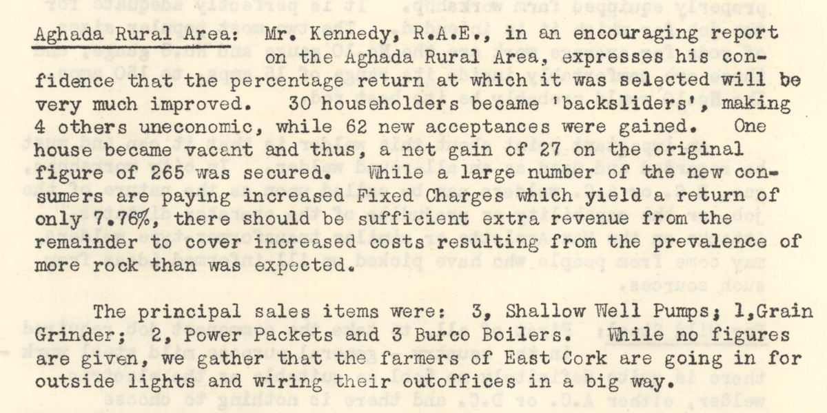 This digital scan from the REO News displays the following text:
"Aghada Rural Area: Mr. Kennedy, R.A.E., in an encouraging report on the Aghada Rural Area, expresses his confidence that the percentage return at which it was selected will be very much improved. 30 householders became 'backsliders', making 4 others uneconomic, while 62 new acceptances were gained. One house became vacant and thus, a net gain of 27 on the original figure of 265 was secured. While a large number of the new consumers are paying increased Fixed Charges which yield a return of only 7.76%, there should be sufficient extra revenue from the remainder to cover increased costs resulting from the prevalence of more rock than was expected.
The principal sales items were: 3, Shallow Well Pumps; 1, Grain Grinder; 2, Power Packets and 3 Burco Boilers. While no figures are given, we gather that the farmers of East Cork are going in for outside lights and wiring their outoffices in a big way."