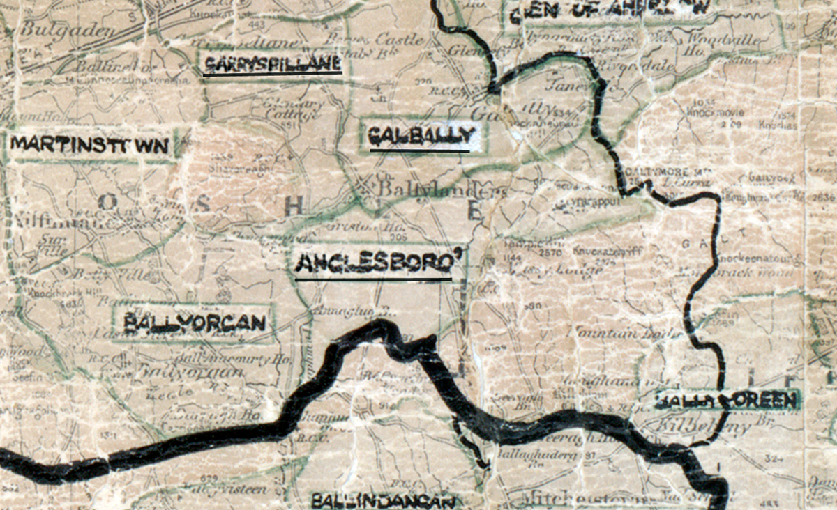
 Area: Anglesboro
Started: July 1956
Finished: March 1957
Poles used: 1246
Line used (km): 115
Premises connected: 333
The figures above were sourced from our REO News magazine, to learn more about what these figures mean, visit our interactive map. The map above shows the area boundary and is from a digitised version of the original map used during the scheme.
The roads in Anglesboro were poor according to The REO News from May 1957.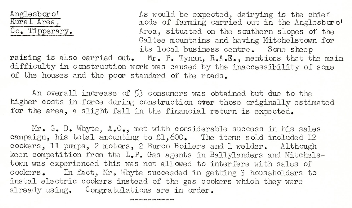 This digital scan from the REO News displays the following text:
"Anglesboro’ Rural Area, Co. Tipperary.
As would be expected, dairying is the chief mode of farming carried out in the Anglesboro’ Area, situated on the southern slopes of the Galtee mountains and having Mitchelstown for its local business centre. Some sheep raising is also carried out. Mr. P. Tynan, R.A.E., mentions that the main difficulty in construction work was caused by the inaccessibility of some of the houses and the poor standard of the roads.
An overall increase of 53 consumers was obtained but due to the higher costs in force during construction over those originally estimated for the area, a slight fall in the financial return is expected.
Mr. G. D. Whyte, A.O., met with considerable success in his sales campaign, his total amounting to £1,600. The items sold included 12 cookers, 11 pumps, 2 motors, 2 Burco Boilers and 1 welder. Although keen competition from the I.P.G. Gas agents in Ballylanders and Mitchelstown was experienced this was not allowed to interfere with sales of cookers. In fact, Mr. Whyte succeeded in getting 3 householders to install electric cookers instead of the gas cookers which they were already using. Congratulations are in order."