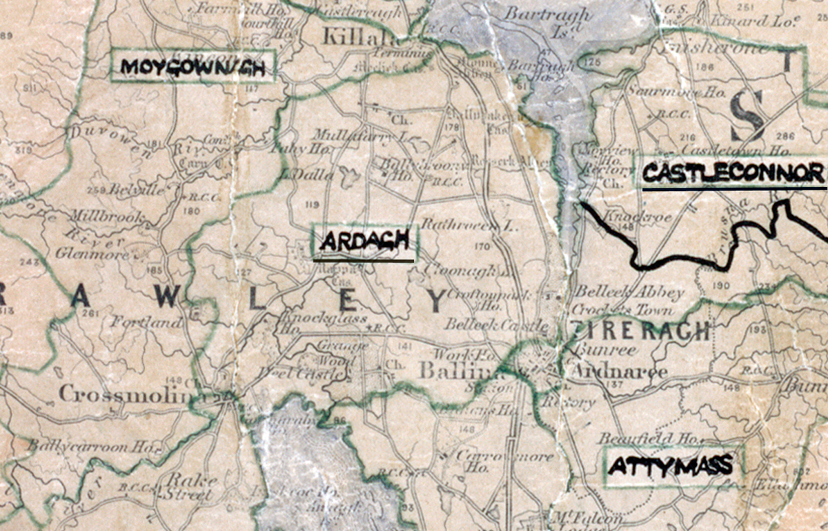
 Area: Ardagh
Started: December 1953
Finished: September 1954
Poles used: 1128
Line used (km): 102
Premises connected: 300
The figures above were sourced from our REO News magazine, to learn more about what these figures mean, visit our interactive map. The map above shows the area boundary and is from a digitised version of the original map used during the scheme.
Things went very well in Ardagh according to The REO News from October 1954.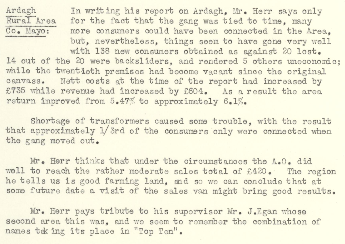 This digital scan from the REO News displays the following text:
“Ardagh Rural Area, Co. Mayo: In writing his report on Ardagh, Mr. Herr says only for the fact that the gang was tied to time, many more consumers could have been connected in the Area, but, nevertheless, things seem to have gone very well with 138 new consumers obtained as against 20 lost. 14 out of the 20 were backsliders, and rendered 5 others uneconomic; while the twentieth premises had become vacant since the original canvass. Nett costs at the time of the report had increased by £735 while revenue had increased by £604. As a result the area return improved from 5.47% to approximately 6.1%.
Shortage of transformers caused some trouble, with the result that approximately 1/3rd of the consumers only were connected when the gang moved out.
Mr. Herr thinks that under the circumstances the A.O. did well to reach the rather moderate sales total of £420. The region he tells us is good farming land, and so we can conclude that at some future date a visit of the sales van might bring good results.
Mr. Herr pays tribute to his supervisor Mr. J. Egan whose second area this was, and we seem to remember the combination of names taking its place in ‘Top Ten’.”