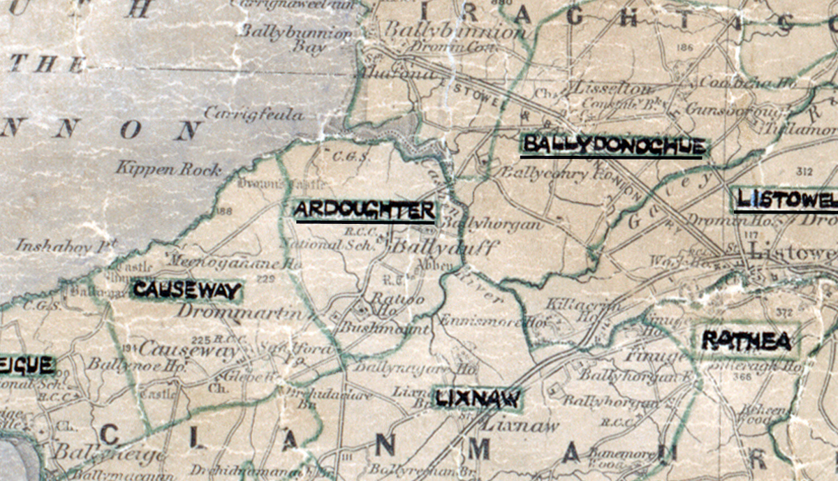
 Area: Ardoughter
Started: January 1950
Finished: September 1950
Poles used: 709
Line used (km): 63
Premises connected: 146
The figures above were sourced from our REO News magazine, to learn more about what these figures mean, visit our interactive map. The map above shows the area boundary and is from a digitised version of the original map used during the scheme.
Three grain grinders were among the items sold in Ardoughter according to The REO News from October 1950.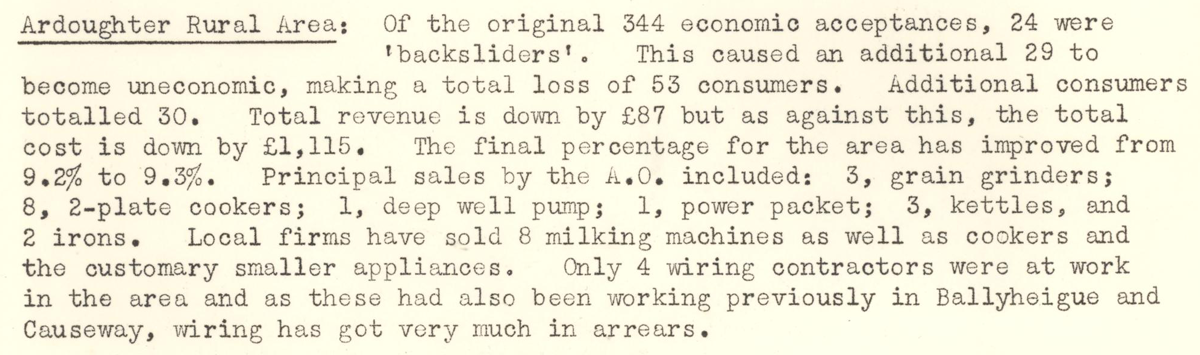 This digital scan from the REO News displays the following text:
"Ardoughter Rural Area: Of the original 344 economic acceptances, 24 were ‘backsliders’. This caused an additional 29 to become uneconomic, making a total loss of 53 consumers. Additional consumers totalled 30. Total revenue is down by £87 but as against this, the total cost is down by £1,115. The final percentage for the area has improved from 9.2% to 9.3%. Principal sales by the A.O. included: 3, grain grinders; 8, 2-plate cookers; 1, deep well pump; 1, power packet; 3, kettles, and 2 irons. Local firms have sold 8 milking machines as well as cookers and the customary smaller appliances. Only 4 wiring contractors were at work in the area and as these had also been working previously in Ballyheigue and Causeway, wiring has got very much in arrears."