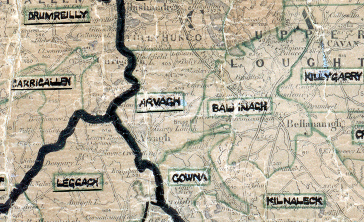
 Area: Arva
Started: June 1956
Finished: January 1957
Poles used: 932
Line used (km): 79
Premises connected: 220
The figures above were sourced from our REO News magazine, to learn more about what these figures mean, visit our Interactive map page. The map above shows the area boundary and is from a digitised version of the original map used during the scheme.
The REO News from January 1957 had a report from Arvagh.
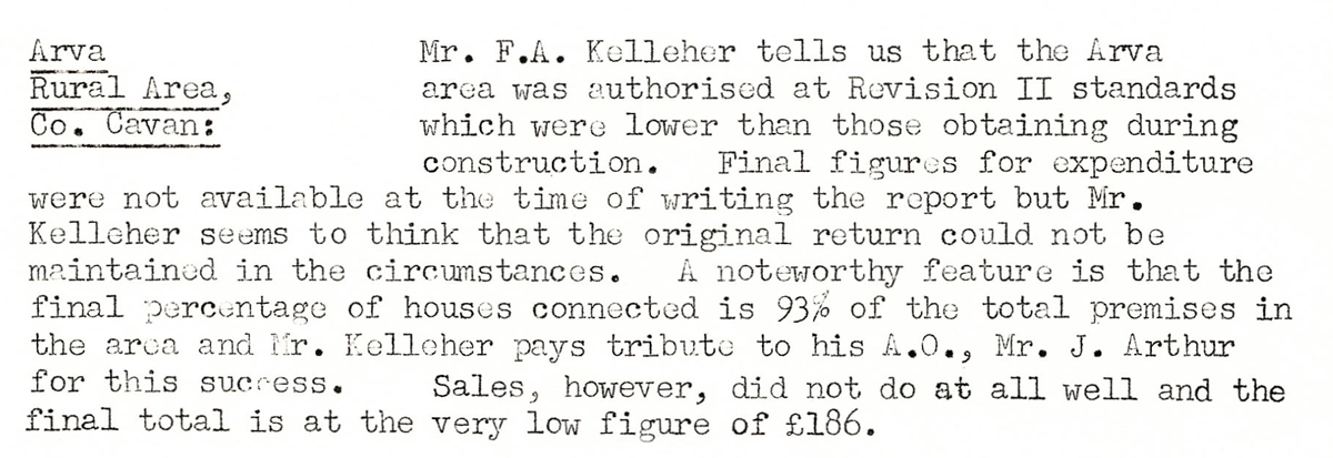
This digital scan from the REO News displays the following text:
"Arva Rural Area, Co. Cavan: Mr. F.A. Kelleher tells us that the Arva area was authorised at Revision II standards which were lower than those obtaining during construction. Final figures for expenditure were not available at the time of writing the report but Mr. Kelleher seems to think that the original return could not be maintained in the circumstances. A noteworthy feature is that the final percentage of houses connected is 93% of the total premises in the area and Mr. Kelleher pays tribute to his A.O., Mr. J. Arthur for this success. Sales, however, did not do at all well and the final total is at the very low figure of £186."