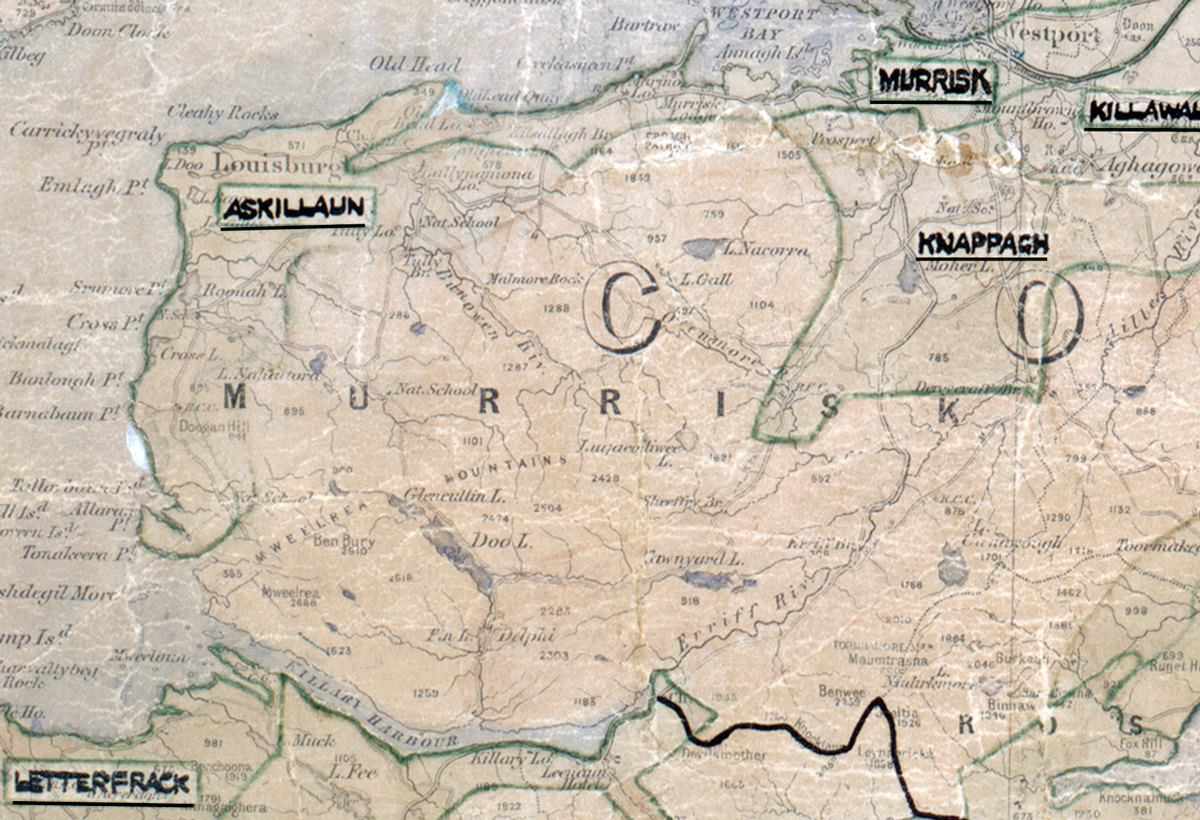
 Area: Askillaun
Started: June 1954
Finished: March 1955
Poles used: 837
Line used (km): 81
Premises connected: 280
The figures above were sourced from our REO News magazine, to learn more about what these figures mean, visit our interactive map. The map above shows the area boundary and is from a digitised version of the original map used during the scheme.
Askillaun was swept by Atlantic gales according to The REO News from May 1955.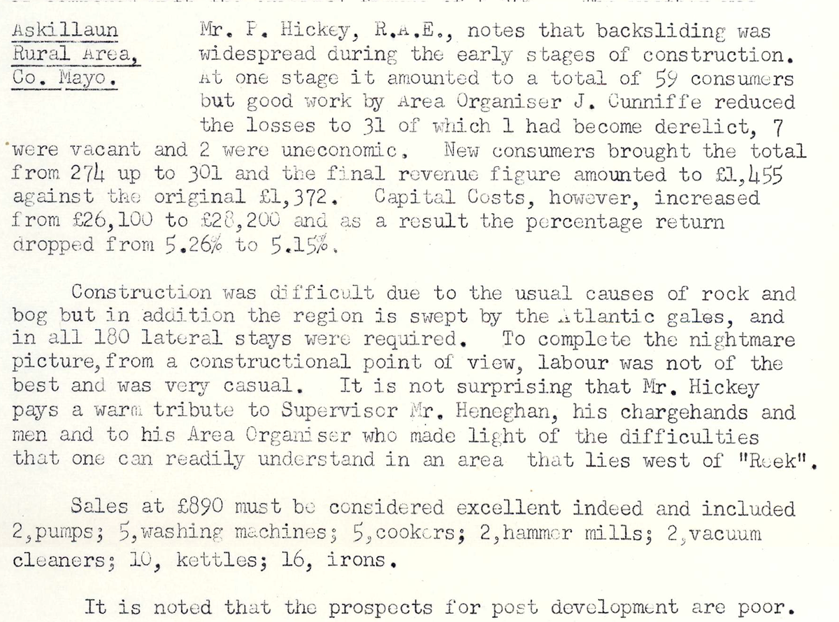 This digital scan from the REO News displays the following text:
“Askillaun Rural Area, Co. Mayo: Mr. F. Hickey, R.A.E., notes that backsliding was widespread during the early stages of construction. At one stage it amounted to a total of 59 consumers but good work by Area Organiser J. Cunniffe reduced the losses to 31 of which 1 had become derelict, 7 were vacant and 2 were uneconomic. New consumers brought the total from 274 up to 301 and the final revenue figure amounted to £1,455 against the original £1,372. Capital Costs, however, increased from £26,100 to £22,200 and as a result the percentage return dropped from 5.26% to 5.15%.
Construction was difficult due to the usual causes of rock and bog but in addition the region is swept by the Atlantic gales, and in all 180 lateral stays were required. To complete the nightmare picture, from a constructional point of view, labour was not of the best and was very casual. It is not surprising that Mr. Hickey pays a warm tribute to Supervisor Mr. Heneghan, his chargehands and men and to his Area Organiser who made light of the difficulties that one can readily understand in an area that lies west of ‘Ruek’.
Sales at £890 must be considered excellent indeed and included 2 pumps; 5 washing machines; 5 cookers; 2 hammer mills; 2 vacuum cleaners; 10 kettles; 16 irons.
It is noted that the prospects for post development are poor.”