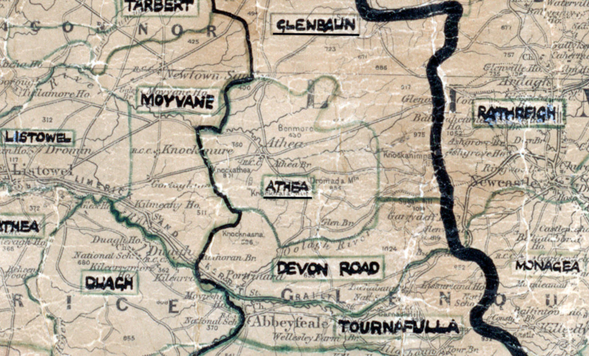
Area: Athea
Started: December 1955
Finished: June 1956
Poles used: 996
Line used (km): 90
Premises connected: 180
The figures above were sourced from our REO News magazine, to learn more about what these figures mean, visit our Interactive map page. The map above shows the area boundary and is from a digitised version of the original map used during the scheme.
Rock, bog, water and the weather caused some difficulties in Athea according to The REO News from November 1956.
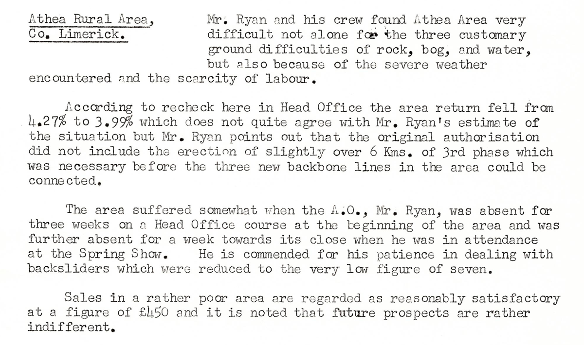
"This digital scan from the REO News displays the following text:
Athea Rural Area, Co. Limerick: Mr. Ryan and his crew found Athea Area very difficult not alone for the three customary ground difficulties of rock, bog, and water, but also because of the severe weather encountered and the scarcity of labour.
According to recheck here in Head Office the area return fell from 4.27% to 3.99% which does not quite agree with Mr. Ryan’s estimate of the situation but Mr. Ryan points out that the original authorisation did not include the erection of slightly over 6 Kms. of 3rd phase which was necessary before the three new backbone lines in the area could be connected.
The area suffered somewhat when the A.O., Mr. Ryan, was absent for three weeks on a Head Office course at the beginning of the area and was further absent for a week towards its close when he was in attendance at the Spring Show. He is commended for his patience in dealing with backsliders which were reduced to the very low figure of seven.
Sales in a rather poor area are regarded as reasonably satisfactory at a figure of £450 and it is noted that future prospects are rather indifferent."