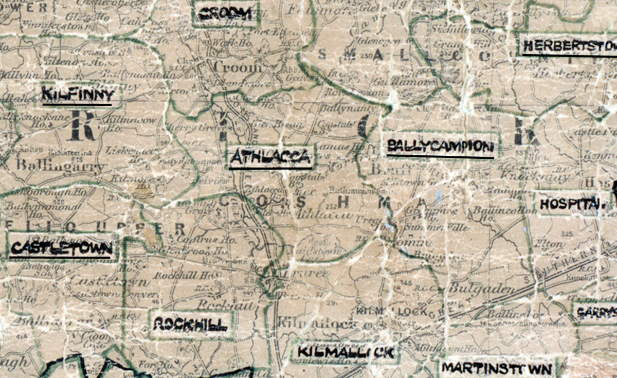
Area: Athlacca
Started: December 1954
Finished: May 1955
Poles used: 980
Line used (km): 95
Premises connected: 130
The figures above were sourced from our REO News magazine, to learn more about what these figures mean, visit our interactive map page. The map above shows the area boundary and is from a digitised version of the original map used during the scheme.
Rocks and gelignite in Athlacca were mentioned in The REO News from September 1955.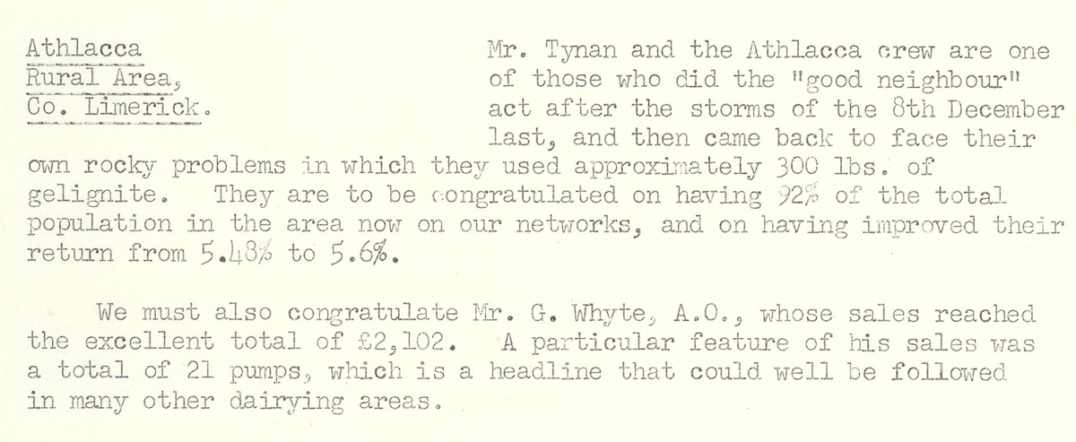
This digital scan from the REO News displays the following text:
"Athlacca Rural Area, Co. Limerick: Mr. Tynan and the Athlacca crew are one of those who did the "good neighbour" act after the storms of the 8th December last, and then came back to face their own rocky problems in which they used approximately 300 lbs. of gelignite. They are to be congratulated on having 92% of the total population in the area now on our networks, and on having improved their return from 5.48% to 5.6%.
We must also congratulate Mr. G. Whyte, A.O., whose sales reached the excellent total of £2,102. A particular feature of his sales was a total of 21 pumps, which is a headline that could well be followed in many other dairying areas."