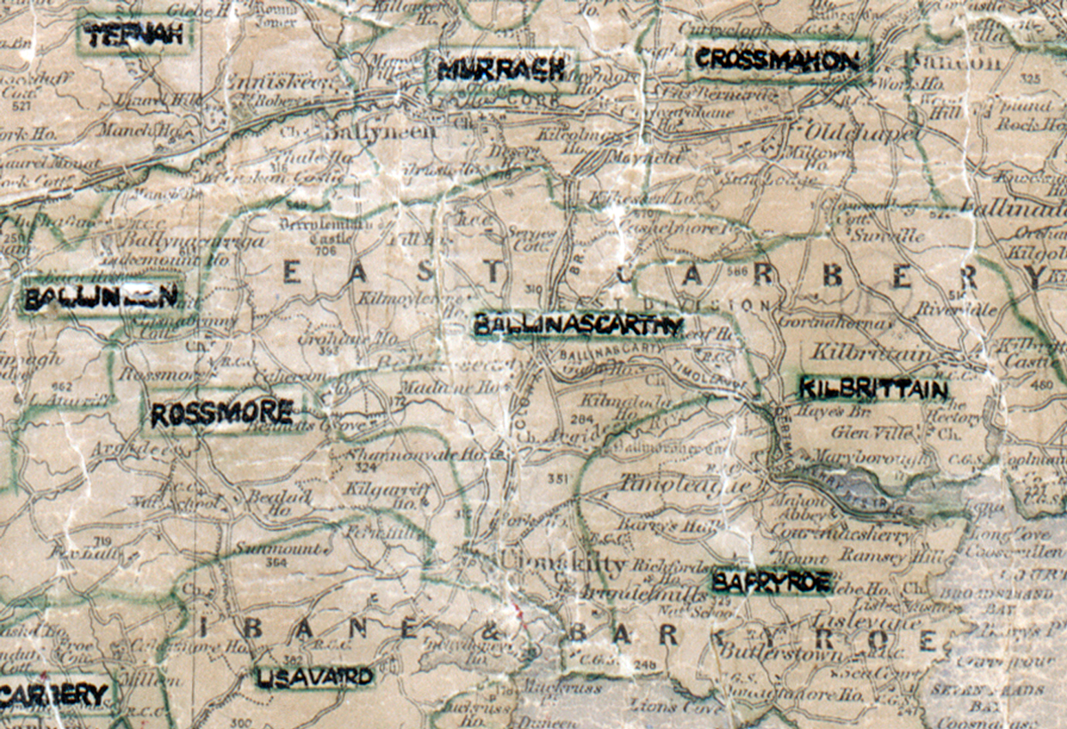
 Area: Ballinascarthy
Started: December 1949
Finished: December 1950
Poles used: 887
Line used (km): 81
Premises connected: 140
The figures above were sourced from our REO News magazine, to learn more about what these figures mean, visit our interactive map. The map above shows the area boundary and is from a digitised version of the original map used during the scheme.
According to The REO News from August 1951 backsliding was a problem in Ballinascarthy.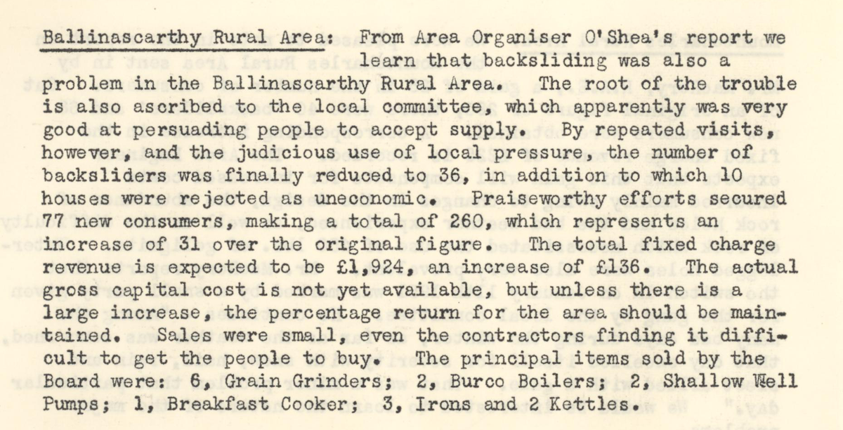 This digital scan from the REO News displays the following text:"Ballinascarthy Rural Area: From Area Organiser O’Shea’s report we learn that backsliding was also a problem in the Ballinascarthy Rural Area. The root of the trouble is also ascribed to the local committee, which apparently was very good at persuading people to accept supply. By repeated visits, however, and the judicious use of local pressure, the number of backsliders was finally reduced to 36, in addition to which 10 houses were rejected as uneconomic. Praiseworthy efforts secured 77 new consumers, making a total of 260, which represents an increase of 31 over the original figure. The total fixed charge revenue is expected to be £1,924, an increase of £136. The actual gross capital cost is not yet available, but unless there is a large increase, the percentage return for the area should be maintained. Sales were small, even the contractors finding it difficult to get the people to buy. The principal items sold by the Board were: 6, Grain Grinders; 2, Burco Boilers; 2, Shallow Well Pumps; 1, Breakfast Cooker; 3, Irons and 2 Kettles."