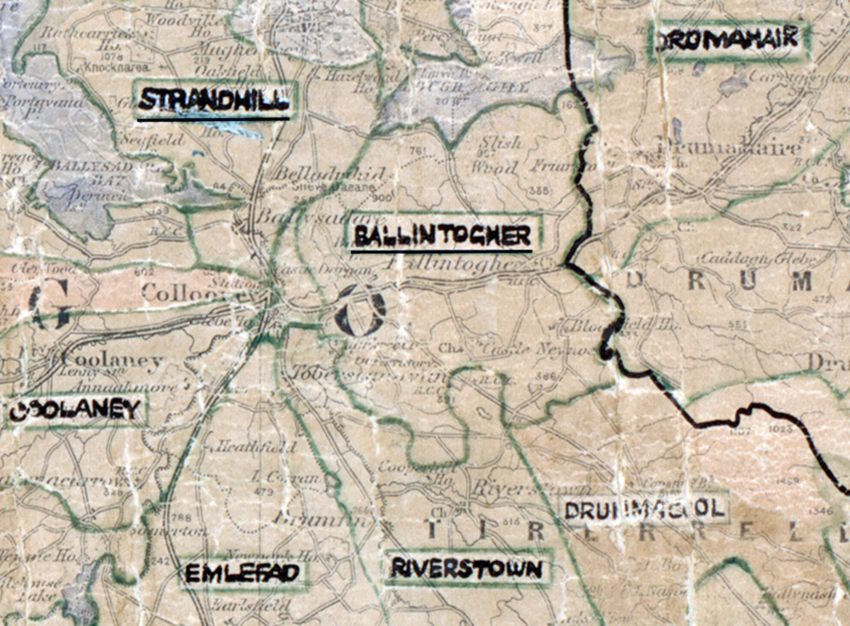
 Area: Ballintogher
Started: June 1956
Finished: August 1956
Poles used: 1181
Line used (km): 102
Premises connected: 63
The figures above were sourced from our REO News magazine, to learn more about what these figures mean, visit our interactive map. The map above shows the area boundary and is from a digitised version of the original map used during the scheme.
Sales were moderate in Ballintogher according to The REO News from September 1956.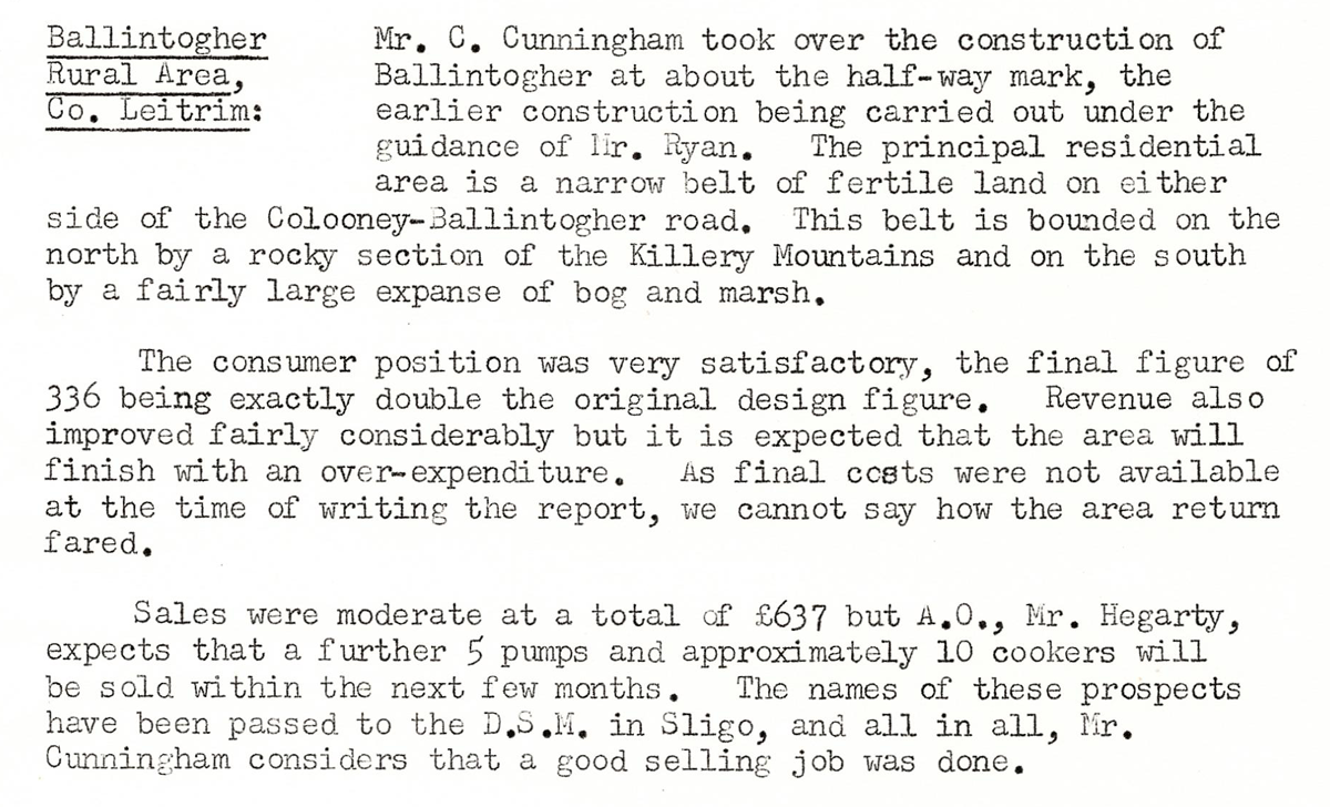 This digital scan from the REO News displays the following text:
“Ballintogher Rural Area, Co. Leitrim: Mr. C. Cunningham took over the construction of Ballintogher at about the half‑way mark, the earlier construction being carried out under the guidance of Mr. Ryan. The principal residential area is a narrow belt of fertile land on either side of the Collooney–Ballintogher road. This belt is bounded on the north by a rocky section of the Killery Mountains and on the south by a fairly large expanse of bog and marsh.
The consumer position was very satisfactory, the final figure of 336 being exactly double the original design figure. Revenue also improved fairly considerably but it is expected that the area will finish with an over‑expenditure. As final costs were not available at the time of writing the report, we cannot say how the area return fared.
Sales were moderate at a total of £637 but A.O., Mr. Hegarty, expects that a further 5 pumps and approximately 10 cookers will be sold within the next few months. The names of these prospects have been passed to the D.S.M. in Sligo, and all in all, Mr. Cunningham considers that a good selling job was done.”