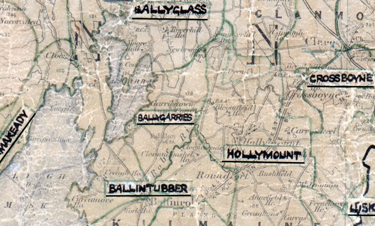
 Area: Ballygarries
Started: June 1956
Finished: August 1956
Poles used: 546
Line used (km): 50
Premises connected: 150
The figures above were sourced from our REO News magazine, to learn more about what these figures mean, visit our interactive map. The map above shows the area boundary and is from a digitised version of the original map used during the scheme.
Gelignite and perspiration were used to overcome difficulties in Ballygarries as reported in The REO News from September 1956.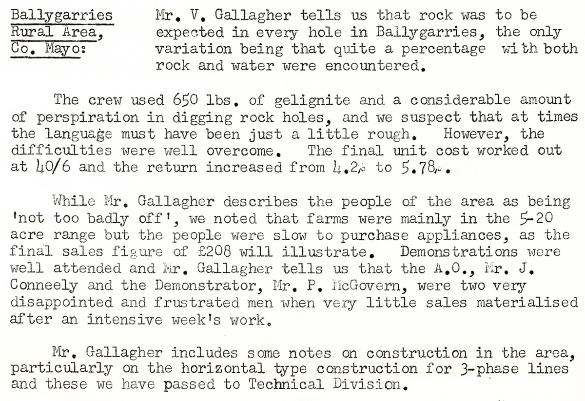 This digital scan from the REO News displays the following text:
“Ballygarries Rural Area, Co. Mayo: Mr. V. Gallagher tells us that rock was to be expected in every hole in Ballygarries, the only variation being that quite a percentage with both rock and water were encountered.
The crew used 650 lbs. of gelignite and a considerable amount of perspiration in digging rock holes, and we suspect that at times the language must have been just a little rough. However, the difficulties were well overcome. The final unit cost worked out at 40/6 and the return increased from 4.2% to 5.78%.
While Mr. Gallagher describes the people of the area as being ‘not too badly off’, we noted that farms were mainly in the 5–20 acre range but the people were slow to purchase appliances, as the final sales figure of £208 will illustrate. Demonstrations were well attended and Mr. Gallagher tells us that the A.O., Mr. J. Conneely and the Demonstrator, Mr. P. McGovern, were two very disappointed and frustrated men when very little sales materialised after an intensive week’s work.
Mr. Gallagher includes some notes on construction in the area, particularly on the horizontal type construction for 3‑phase lines and these we have passed to Technical Division.”