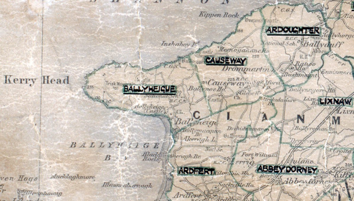
 Area: Ballyheigue
Started: January 1950
Finished: June 1950
Poles used: 673
Line used (km): 61
Premises connected: 163
The figures above were sourced from our REO News magazine, to learn more about what these figures mean, visit our interactive map. The map above shows the area boundary and is from a digitised version of the original map used during the scheme.
A tidal swamp in Balyheigue posed some problems according to The REO News from June 1950.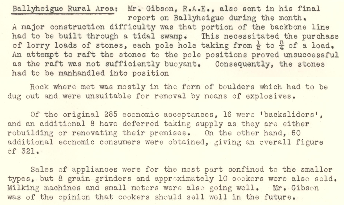 This digital scan from the REO News displays the following text:
"Ballyheigue Rural Area: Mr. Gibson, R.A.E., also sent in his final report on Ballyheigue during the month.
A major construction difficulty was that portion of the backbone line had to be built through a tidal swamp. This necessitated the purchase of lorry loads of stones, each pole hole taking from ½ to ¾ of a load. An attempt to raft the stones to the pole positions proved unsuccessful as the raft was not sufficiently buoyant. Consequently, the stones had to be manhandled into position.
Rock where met was mostly in the form of boulders which had to be dug out and were unsuitable for removal by means of explosives.
Of the original 285 economic acceptances, 16 were ‘backsliders’, and an additional 8 have deferred taking supply as they are either rebuilding or renovating their premises. On the other hand, 60 additional economic consumers were obtained, giving an overall figure of 321.
Sales of appliances were for the most part confined to the smaller types, but 8 grain grinders and approximately 10 cookers were also sold. Milking machines and small motors were also going well. Mr. Gibson was of the opinion that cookers should sell well in the future."