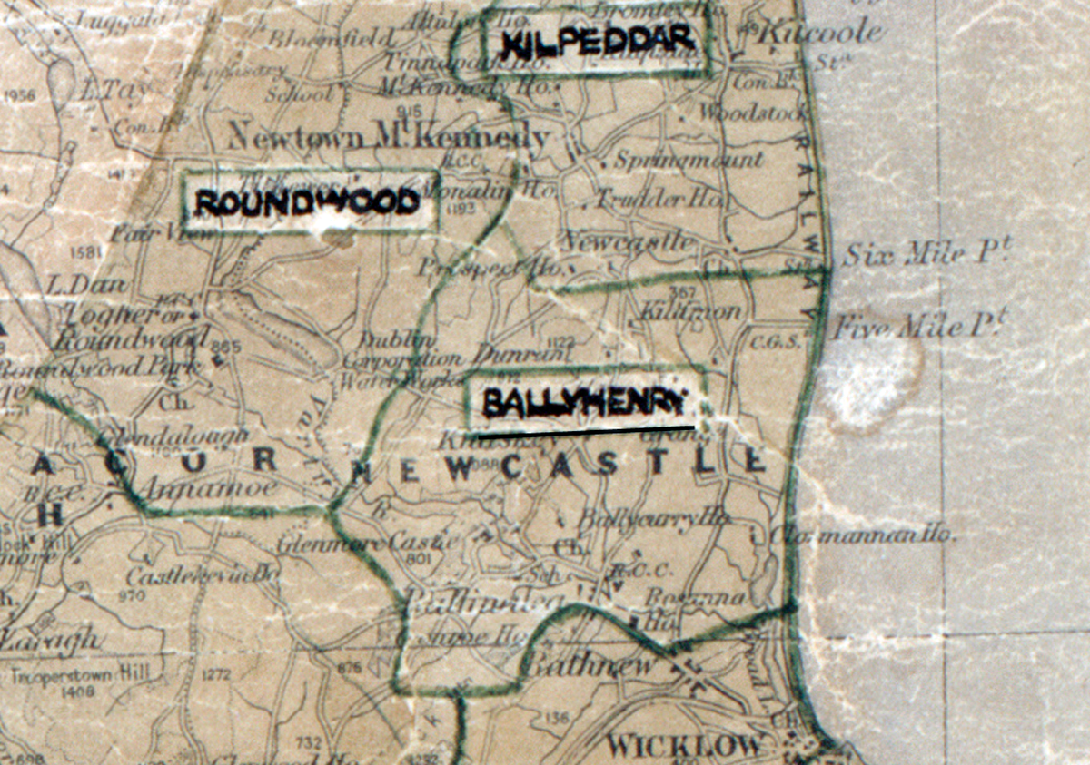
 Area: Ballyhenry
Started: June 1951
Finished: April 1952
Poles used: 632
Line used (km): 54
Premises connected: 60
The figures above were sourced from our REO News magazine, to learn more about what these figures mean, visit our interactive map. The map above shows the area boundary and is from a digitised version of the original map used during the scheme.
The REO News from July 1952 reports on the difficulties of the terrain in Ballyhenry.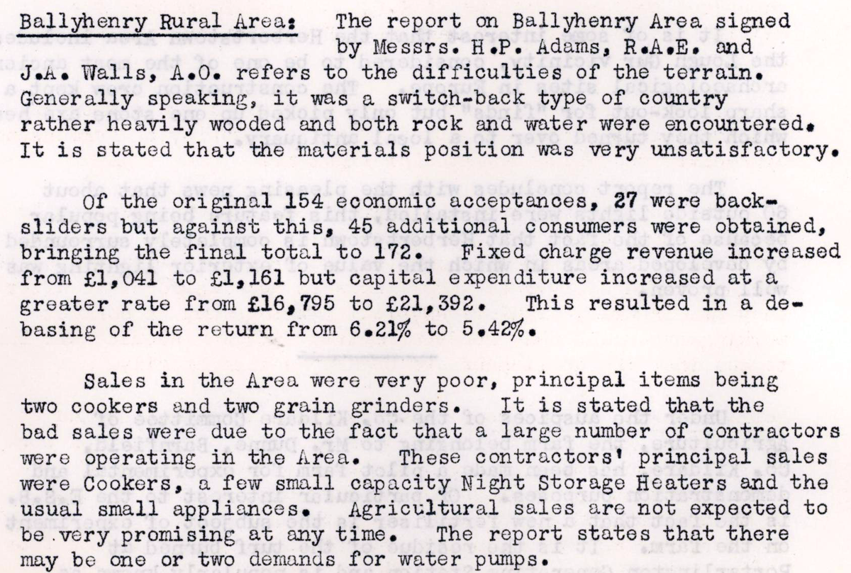 This digital scan from the REO News displays the following text:
“Ballyhenry Rural Area: The report on Ballyhenry Area signed by Messrs. H. P. Adams, R.A.E. and J. A. Walls, A.O. refers to the difficulties of the terrain. Generally speaking, it was a switch‑back type of country rather heavily wooded and both rock and water were encountered. It is stated that the materials position was very unsatisfactory.
Of the original 154 economic acceptances, 27 were backsliders but against this, 45 additional consumers were obtained, bringing the final total to 172. Fixed charge revenue increased from £1,041 to £1,161 but capital expenditure increased at a greater rate from £16,795 to £21,392. This resulted in a debasing of the return from 6.21% to 5.42%.
Sales in the Area were very poor, principal items being two cookers and two grain grinders. It is stated that the bad sales were due to the fact that a large number of contractors were operating in the Area. These contractors’ principal sales were cookers, a few small capacity Night Storage Heaters and the usual small appliances. Agricultural sales are not expected to be very promising at any time. The report states that there may be one or two demands for water pumps.”