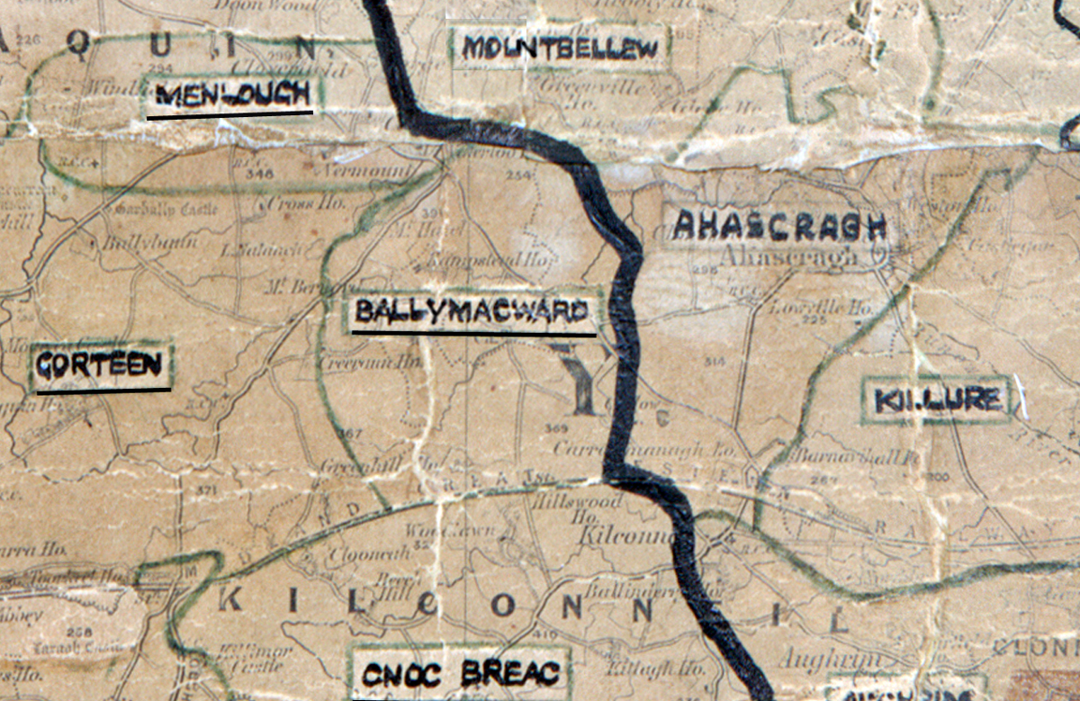
 Area: Ballymacward
Started: June 1953
Finished: November 1953
Poles used: 481
Line used (km): 43
Premises connected: 145
The figures above were sourced from our REO News magazine. Click interactive mapto find out more on what the figures mean. The map above shows the area boundary and is from a digitised version of the original map used during the scheme.
The REO News from January 1954 tells us that sales were low in Ballymacward.
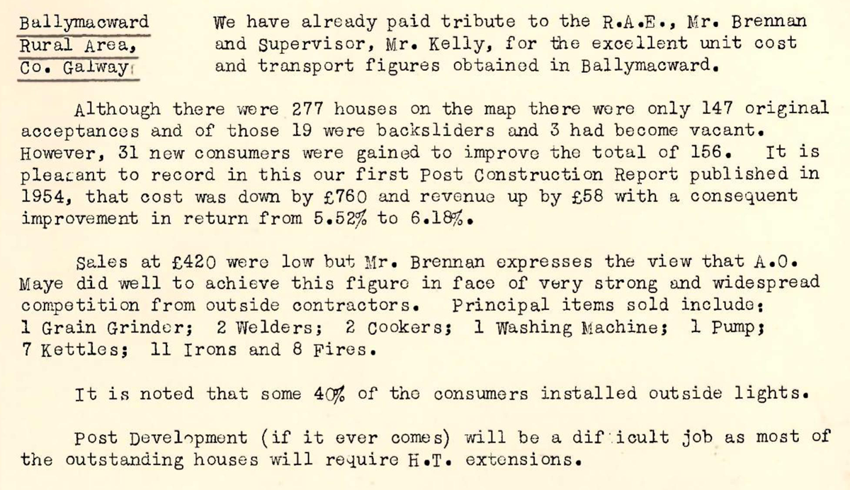
This digital scan from the REO News displays the following text:
"Ballymacward Rural Area, Co. Galway: We have already paid tribute to the R.A.E., Mr. Brennan and Supervisor, Mr. Kelly, for the excellent unit cost and transport figures obtained in Ballymacward.
Although there were 277 houses on the map there were only 147 original acceptances and of those 19 were backsliders and 3 had become vacant. However, 31 new consumers were gained to improve the total of 156. It is pleasant to record in this our first Post Construction Report published in 1954, that cost was down by £760 and revenue up by £58 with a consequent improvement in return from 5.52% to 6.18%.
Sales at £420 were low but Mr. Brennan expresses the view that A.O. Maye did well to achieve this figure in face of very strong and widespread competition from outside contractors. Principal items sold include: 1 Grain Grinder; 2 Welders; 2 Cookers; 1 Washing Machine; 1 Pump; 7 Kettles; 11 Irons and 8 Fires.
It is noted that some 40% of the consumers installed outside lights.
Post Development (if it ever comes) will be a difficult job as most of the outstanding houses will require H.T. extensions."