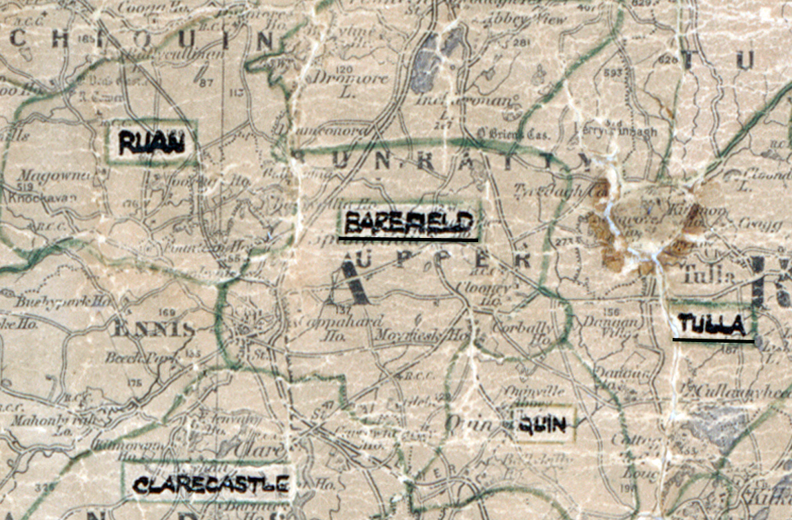
 Area: Barefield
Started: May 1958
Finished: February 1959
Poles used: 1147
Line used (km): 94
Premises connected: 307
The figures above were sourced from our REO News magazine, to learn more about what these figures mean, visit our interactive map. The map above shows the area boundary and is from a digitised version of the original map used during the scheme.
The REO News from May 1959 notes that Barefield was an appropriate name for a rocky area.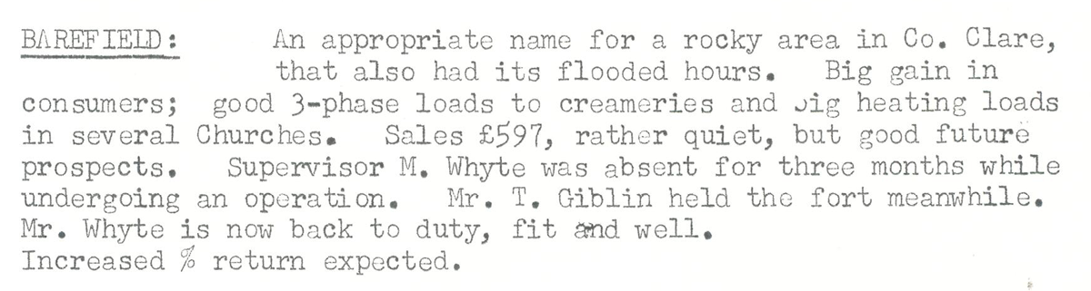 This digital scan from the REO news displays the following text:
"Barefield: An appropriate name for a rocky area in Co. Clare, that also had its flooded hours. Big gain in consumers; good 3-phase loads to creameries and Jig heating loads in several Churches. Sales £597, rather quiet, but good future prospects.
Supervisor M. Whyte was absent for three months while undergoing an operation. Mr. T. Giblin held the fort meanwhile. Mr. Whyte is now back to duty, fit and well.
Increased % return expected."