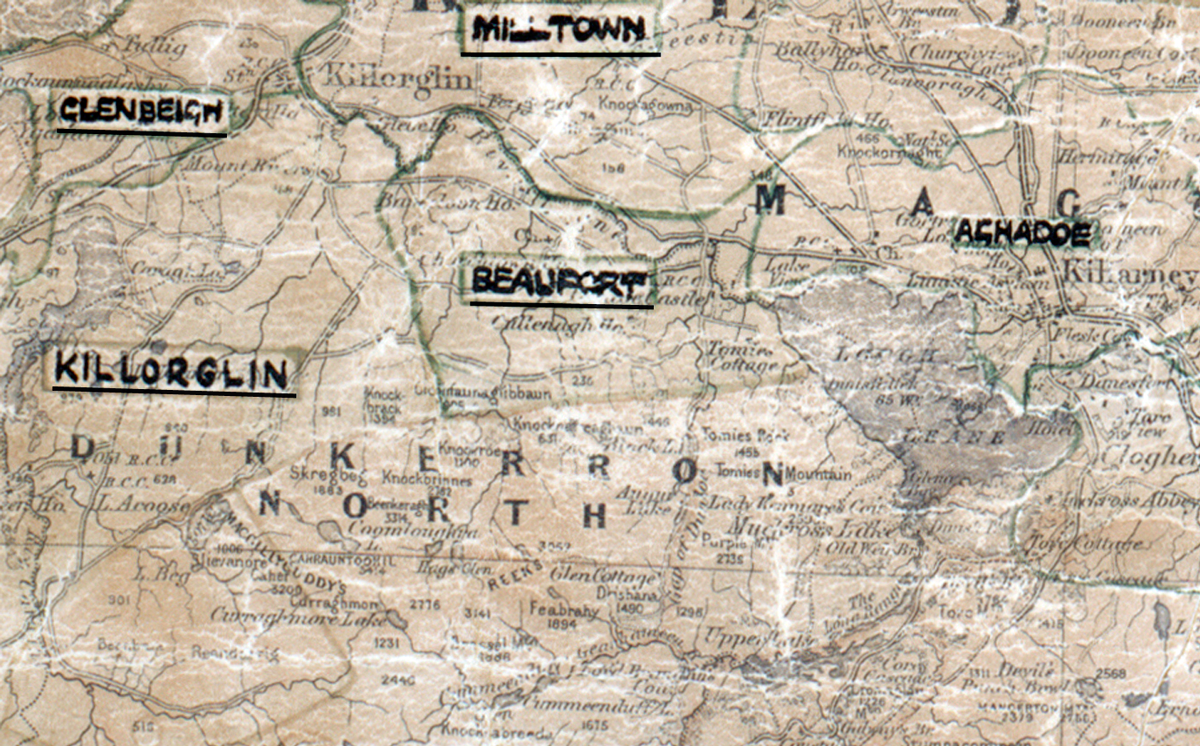
 Area: Beaufort
Started: December 1955
Finished: October 1956
Poles used: 738
Line used (km): 61
Premises connected: 130
The figures above were sourced from our REO News magazine, to learn more about what these figures mean, visit our interactive map. The map above shows the area boundary and is from a digitised version of the original map used during the scheme.
The REO News from April 1957 mentions the great natural beauty of Beaufort.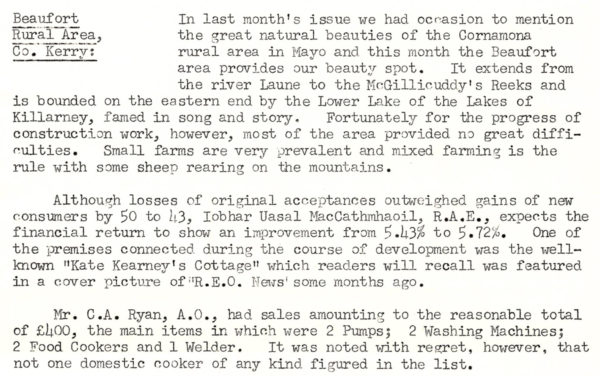 This digital scan from the REO News displays the following text:
"Beaufort Rural Area, Co. Kerry: In last month’s issue we had occasion to mention the great natural beauties of the Cormnona rural area in Mayo and this month the Beaufort area provides our beauty spot. It extends from the river Laune to the McGillicuddy’s Reeks and is bounded on the eastern end by the Lower Lake of the Lakes of Killarney, famed in song and story. Fortunately for the progress of construction work, however, most of the area provided no great difficulties. Small farms are very prevalent and mixed farming is the rule with some sheep rearing on the mountains.
Although losses of original acceptances outweighed gains of new consumers by 50 to 43, Iobhar Uasal MacCathmhaoil, R.A.E., expects the financial return to show an improvement from 5.43% to 5.72%. One of the premises connected during the course of development was the well-known “Kate Kearney’s Cottage” which readers will recall was featured in a cover picture of “R.E.O. News” some months ago.
Mr. C.A. Ryan, A.O., had sales amounting to the reasonable total of £100, the main items in which were 2 Pumps; 2 Washing Machines; 2 Food Cookers and 1 Welder. It was noted with regret, however, that not one domestic cooker of any kind figured in the list."