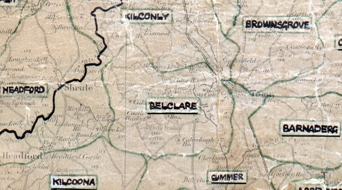
 Area: Belclare
Started: December 1954
Finished: March 1956
Poles used: 1006
Line used (km): 89
Premises connected: 234
The figures above were sourced from our REO News magazine, to learn more about what these figures mean, visit our interactive map page. The map above shows the area boundary and is from a digitised version of the original map used during the scheme.
Flooding was a problem in Belclare as reported in The REO News from May 1956.
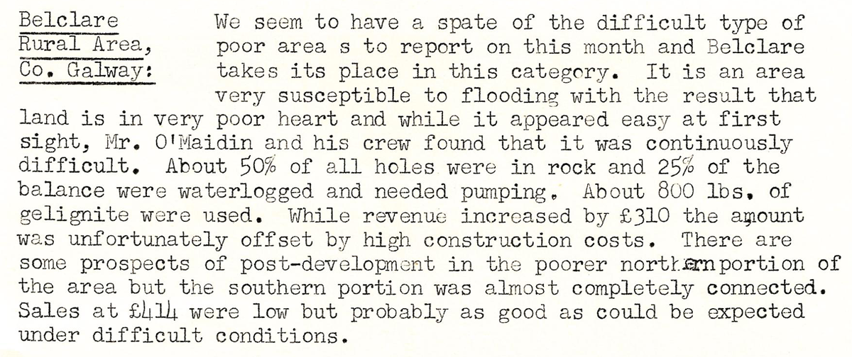
This digital scan from the REO News displays the following text:
"Belclare Rural Area, Co. Galway: We seem to have a spate of the difficult type of poor areas to report on this month and Belclare takes its place in this category. It is an area very susceptible to flooding with the result that land is in very poor heart and while it appeared easy at first sight, Mr. O’Maidin and his crew found that it was continuously difficult. About 50% of all holes were in rock and 25% of the balance were waterlogged and needed pumping. About 800 lbs. of gelignite were used. While revenue increased by £310 the amount was unfortunately offset by high construction costs. There are some prospects of post‑development in the poorer northern portion of the area but the southern portion was almost completely connected. Sales at £144 were low but probably as good as could be expected under difficult conditions."