 Area: Bere Island
Started: July 1957
Finished: April 1958
Poles used: 358
Line used (km): 29
Premises connected: not recorded
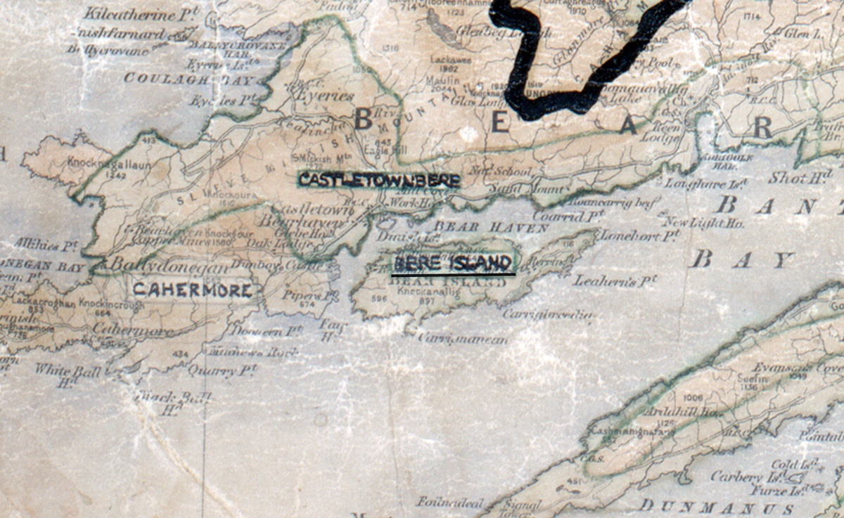
The figures above were sourced from our REO News magazine. Click interactive map to find out more on what the figures mean. The map above shows the area boundary and is from a digitised version of the original map used during the scheme.
A report from The REO News from September 1957 gives some insight into the difficulties faced with getting supplies to Bere Island:
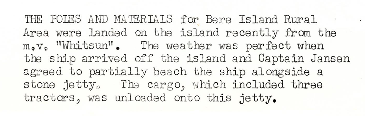 This digital scan from the REO News displays the following text:
"THE POLES AND MATERIALS for Bere Island Rural Area were landed on the island recently from the m.v. "Whitsun". The weather was perfect when the ship arrived off the island and Captain Jansen agreed to partially beach the ship alongside a stone jetty. The cargo, which included three tractors, was unloaded onto this jetty."
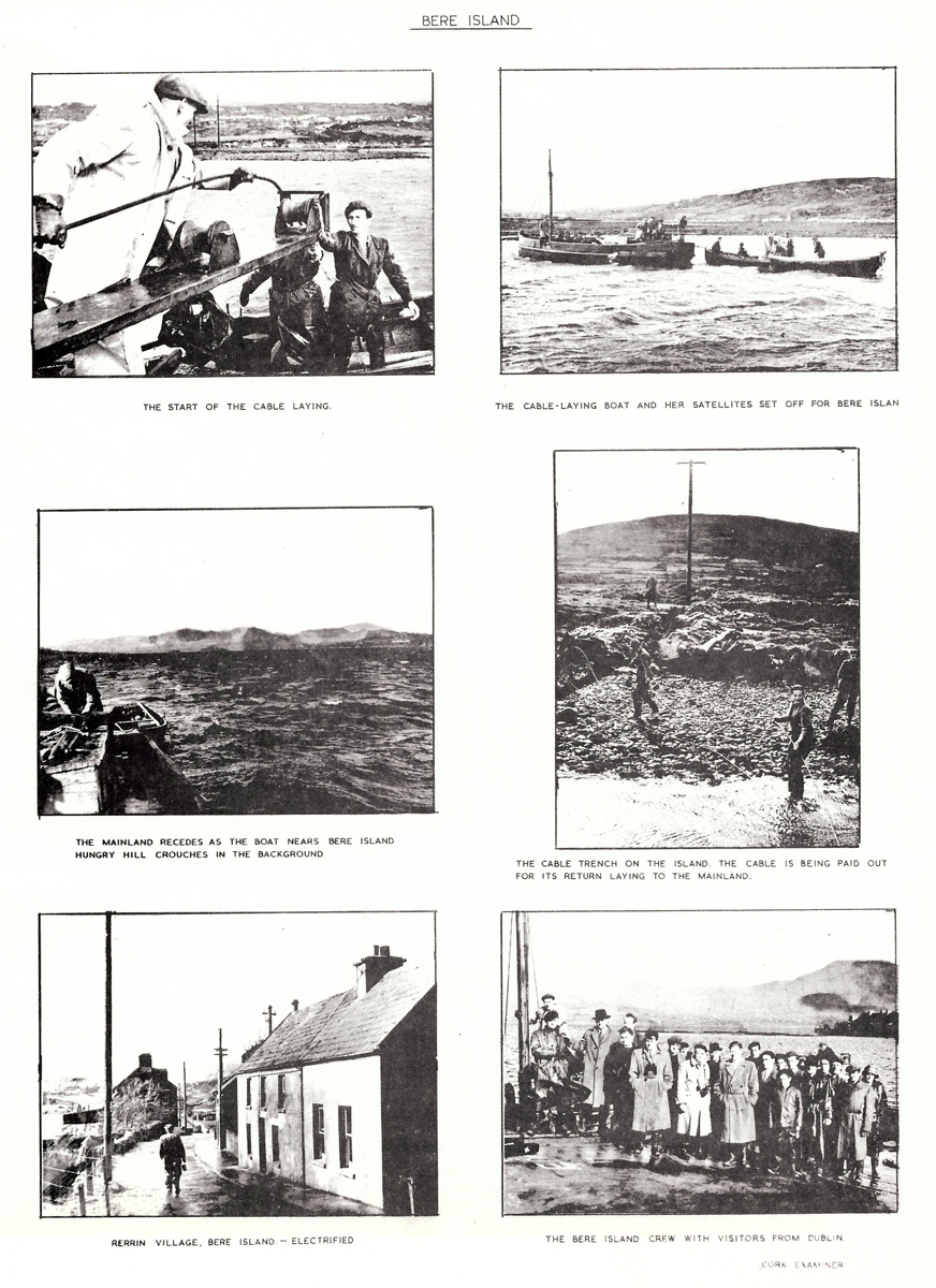
The REO News from July 1958 contained a pictorial record of the work on Bere Island: