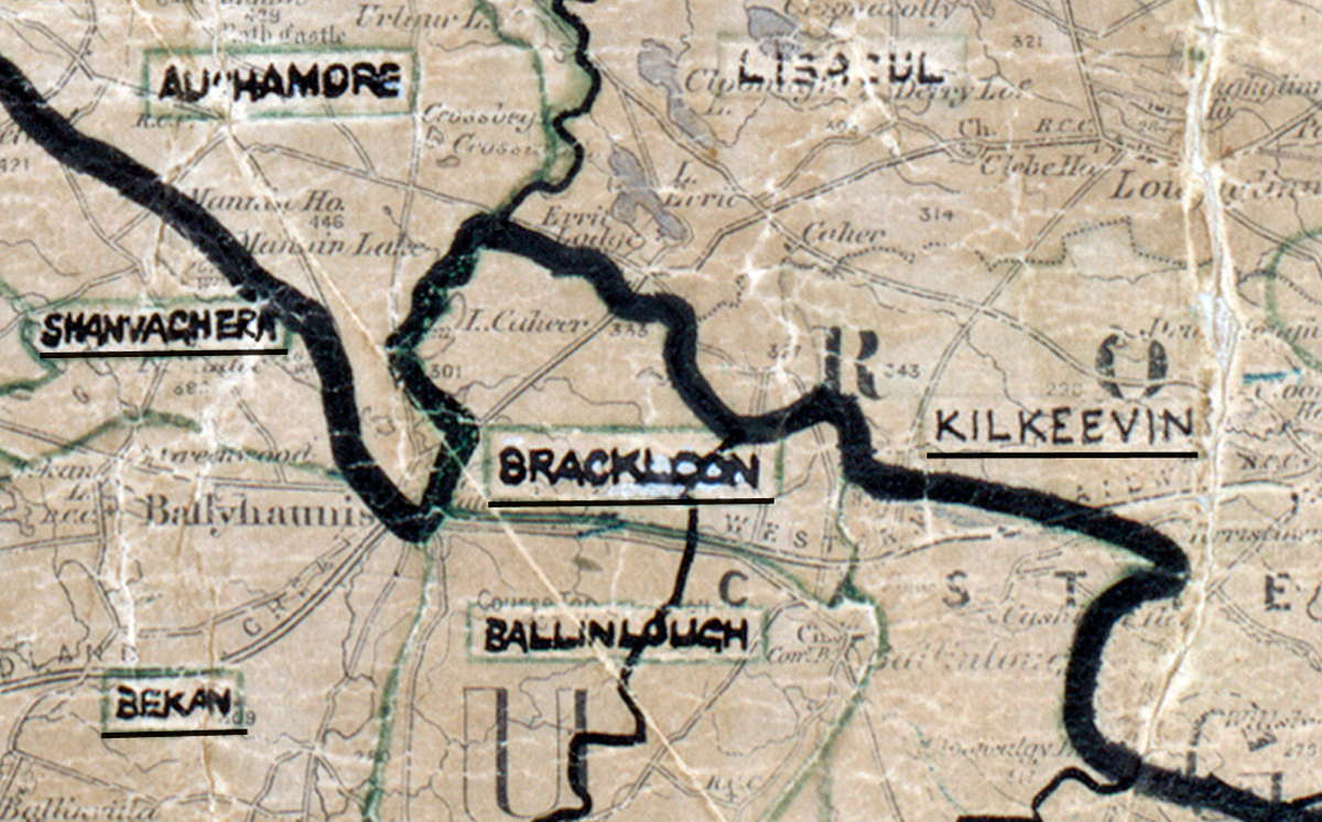
 Area: Brackloon
Started: September 1955
Finished: February 1956
Poles used: 475
Line used (km): 48
Premises connected: 175
The figures above were sourced from our REO News magazine, to learn more about what these figures mean, visit our interactive map. The map above shows the area boundary and is from a digitised version of the original map used during the scheme.
The REO News from April 1956 remarks that Brackloon was a fairly poor and boggy area.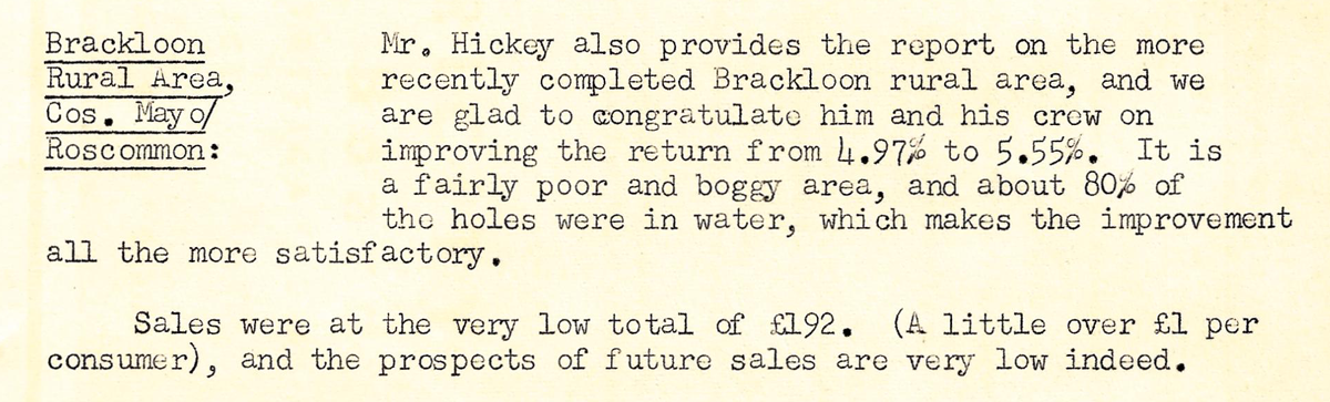 This digital scan from the REO News displays the following text:“Brackloon Rural Area, Cos. Mayo/Roscommon: Mr. Hickey also provides the report on the more recently completed Brackloon rural area, and we are glad to congratulate him and his crew on improving the return from 4.97% to 5.55%. It is a fairly poor and boggy area, and about 80% of the holes were in water, which makes the improvement all the more satisfactory.
Sales were at the very low total of £192. (A little over £1 per consumer), and the prospects of future sales are very low indeed.”