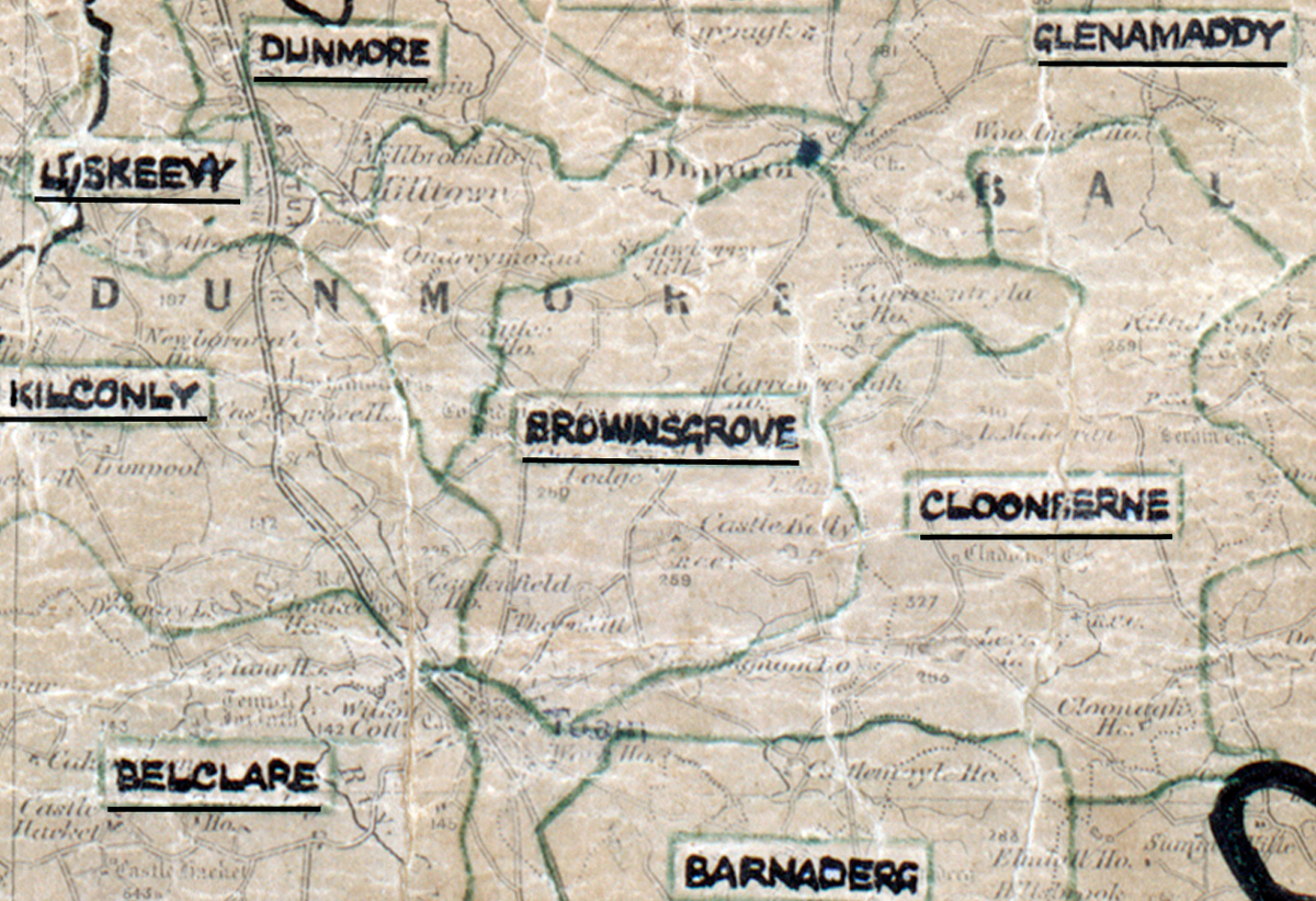
 Area: Brownsgrove
Started: December 1955
Finished: May 1956
Poles used: 1040
Line used (km): 94
Premises connected: 125
The figures above were sourced from our REO News magazine, to learn more about what these figures mean, visit our interactive map page. The map above shows the area boundary and is from a digitised version of the original map used during the scheme.
The REO News from July 1956 reports that sales were quite good in Brownsgrove.
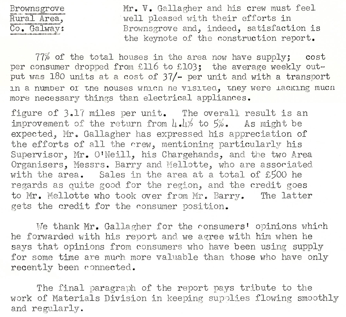
This digital scan from the REO News displays the following text:
"Brownsgrove Rural Area, Co. Galway: Mr. V. Gallagher and his crew must feel well pleased with their efforts in Brownsgrove and, indeed, satisfaction is the keynote of the construction report.
77% of the total houses in the area now have supply; cost per consumer dropped from £116 to £103; the average weekly output was 180 units at a cost of 37/- per unit and with a transport figure of 3.17 miles per unit. The overall result is an improvement of the return from 4.4% to 5%. As might be expected, Mr. Gallagher has expressed his appreciation of the efforts of all the crew, mentioning particularly his Supervisor, Mr. O’Neill, his Chargehands, and the two Area Organisers, Messrs. Barry and Mellotte, who are associated with the area. Sales in the area at a total of £500 he regards as quite good for the region, and the credit goes to Mr. Mellotte who took over from Mr. Barry. The latter gets the credit for the consumer position.
We thank Mr. Gallagher for the consumers’ opinions which he forwarded with his report and we agree with him when he says that opinions from consumers who have been using supply for some time are much more valuable than those who have only recently been connected.
The final paragraph of the report pays tribute to the work of Materials Division in keeping supplies flowing smoothly and regularly."