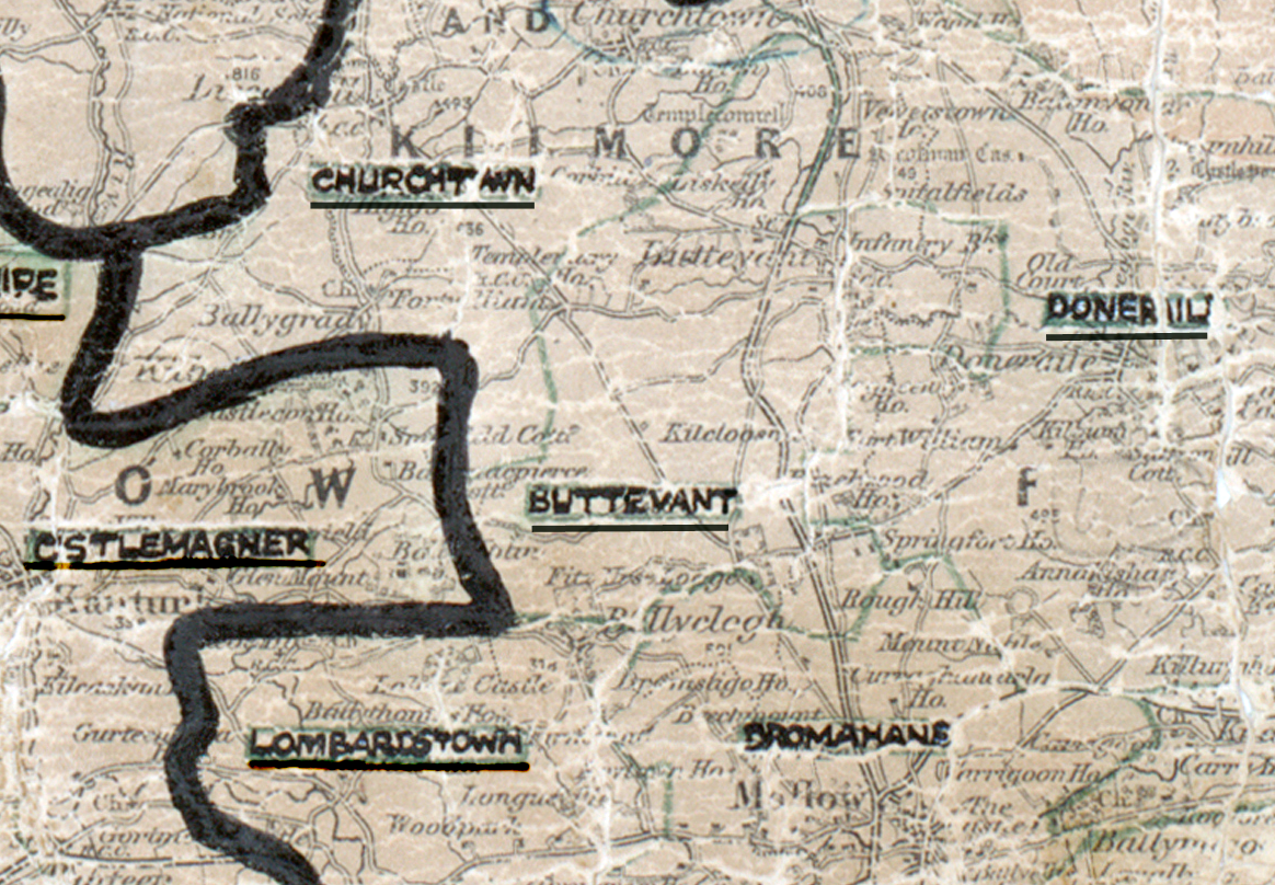
 Area: Buttevant
Started: August 1953
Finished: March 1954
Poles used: 1067
Line used (km): 95
Premises connected: 204
The figures above were sourced from our REO News magazine, to learn more about what these figures mean, visit our interactive map. The map above shows the area boundary and is from a digitised version of the original map used during the scheme.
There was a favourably report from Buttevant according to The REO News from May 1954 .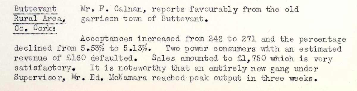 This digital scan from the REO News displays the following text:
"Buttevant Rural Area, Co. Cork: Mr. F. Calnan, reports favourably from the old garrison town of Buttevant.
Acceptances increased from 242 to 271 and the percentage declined from 5.53% to 5.13%. Two power consumers with an estimated revenue of £160 defaulted. Sales amounted to £1,750 which is very satisfactory. It is noteworthy that an entirely new gang under Supervisor, Mr. Ed. McNamara reached peak output in three weeks."