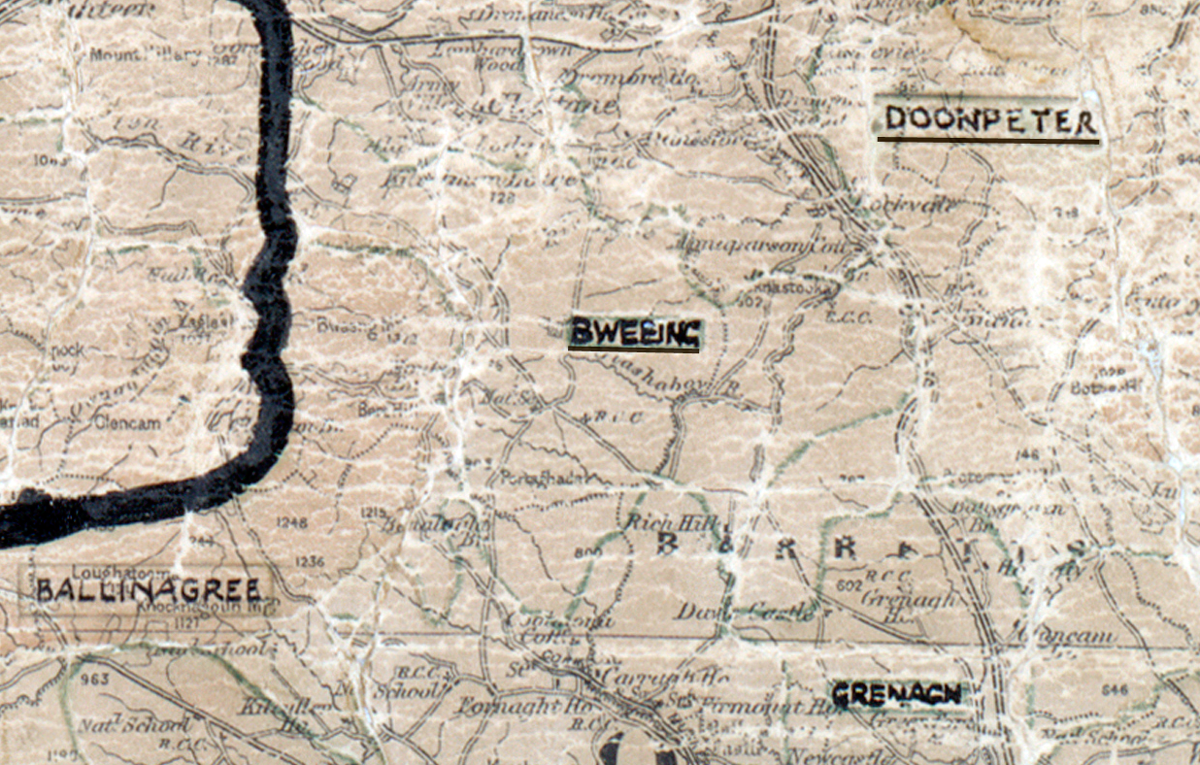
 Area: Bweeng
Started: June 1954
Finished: April 1955
Poles used: 1189
Line used (km): 113
Premises connected: 275
The figures above were sourced from our REO News magazine, to learn more about what these figures mean, visit our interactive map. The map above shows the area boundary and is from a digitised version of the original map used during the scheme.
Backsliders were a problem in Bweeng reports The REO News from July 1955.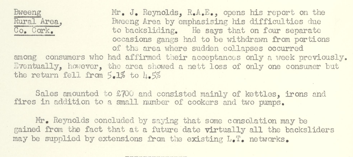 This digital scan from the REO News displays the following text:
"Bweeng Rural Area, Co. Cork: Mr. J. Reynolds, R.A.E., opens his report on the Bweeng Area by emphasising his difficulties due to backsliding. He says that on four separate occasions gangs had to be withdrawn from portions of the area where sudden collapses occurred among consumers who had affirmed their acceptances only a week previously. Eventually, however, the area showed a nett loss of only one consumer but the return fell from 5.1% to 4.5%.
Sales amounted to £700 and consisted mainly of kettles, irons and fires in addition to a small number of cookers and two pumps.
Mr. Reynolds concluded by saying that some consolation may be gained from the fact that at a future date virtually all the backsliders may be supplied by extensions from the existing L.T. networks."