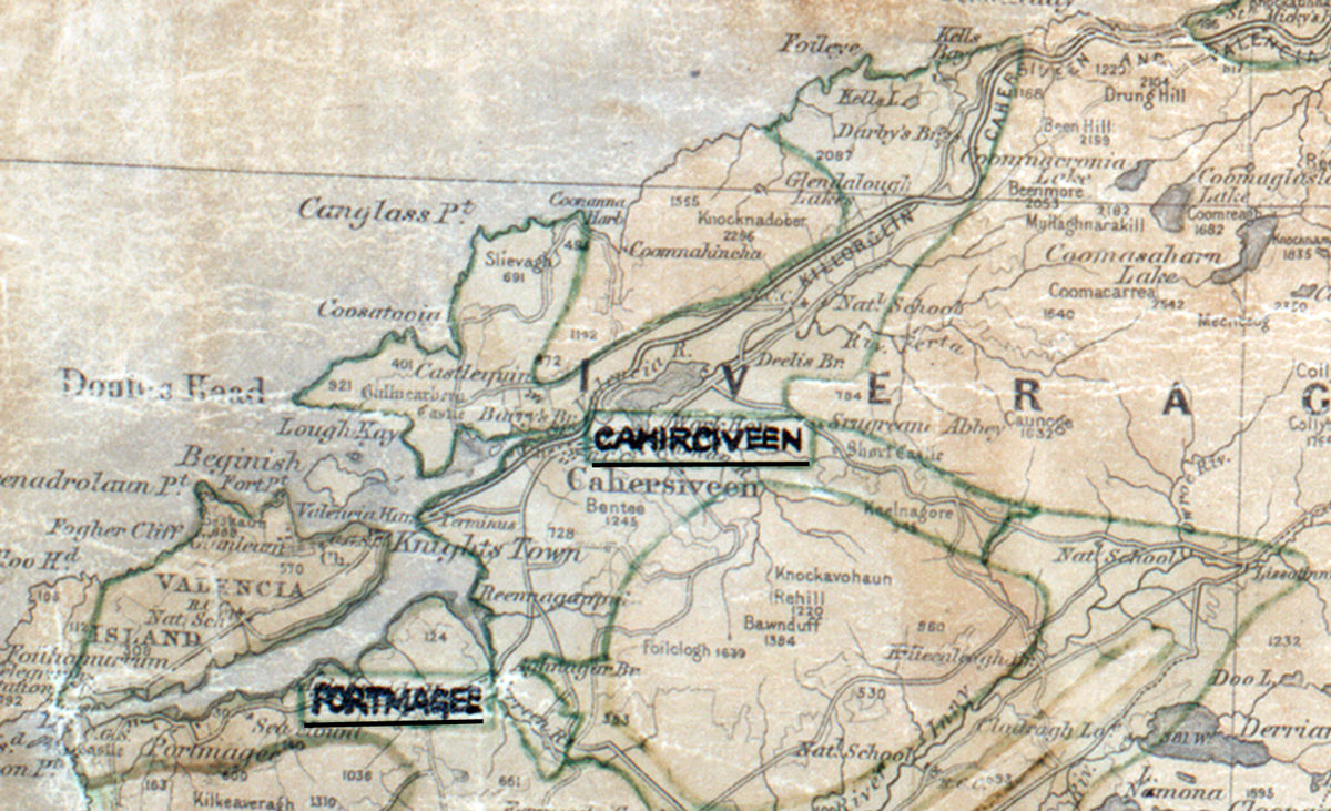
 Area: Cahirciveen
Started: July 1956
Finished: October 1956
Poles used: 1145
Line used (km): 89
Premises connected: 309
The figures above were sourced from our REO News magazine, to learn more about what these figures mean, visit our interactive map. The map above shows the area boundary and is from a digitised version of the original map used during the scheme.
The REO News from January 1957 reports that Cahirciveen was a big area.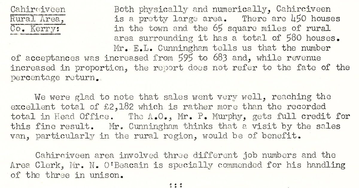 This digital scan from the REO News displays the following text:
"Cahirciveen Rural Area, Co. Kerry: Both physically and numerically, Cahirciveen is a pretty large area. There are 450 houses in the town and the 65 square miles of rural area surrounding it has a total of 580 houses. Mr. E.L. Cunningham tells us that the number of acceptances was increased from 595 to 683 and, while revenue increased in proportion, the report does not refer to the fate of the percentage return.
We were glad to note that sales went very well, reaching the excellent total of £2,182 which is rather more than the recorded total in Head Office. The A.O., Mr. P. Murphy, gets full credit for this fine result. Mr. Cunningham thinks that a visit by the sales van, particularly in the rural region, would be of benefit.
Cahirciveen area involved three different job numbers and the Area Clerk, Mr. N. O’Beacain is specially commended for his handling of the three in unison."