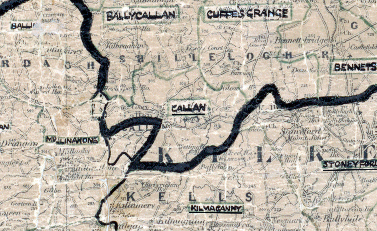
 Area: Callan
Started: December 1954
Finished: November 1955
Poles used: 662
Line used (km): 63
Premises connected: not recorded
The figures above were sourced from our REO News magazine, to learn more about what these figures mean, visit our interactive map. The map above shows the area boundary and is from a digitised version of the original map used during the scheme.
The REO News from January 1956 reports that backsliding was a problem in Callan.
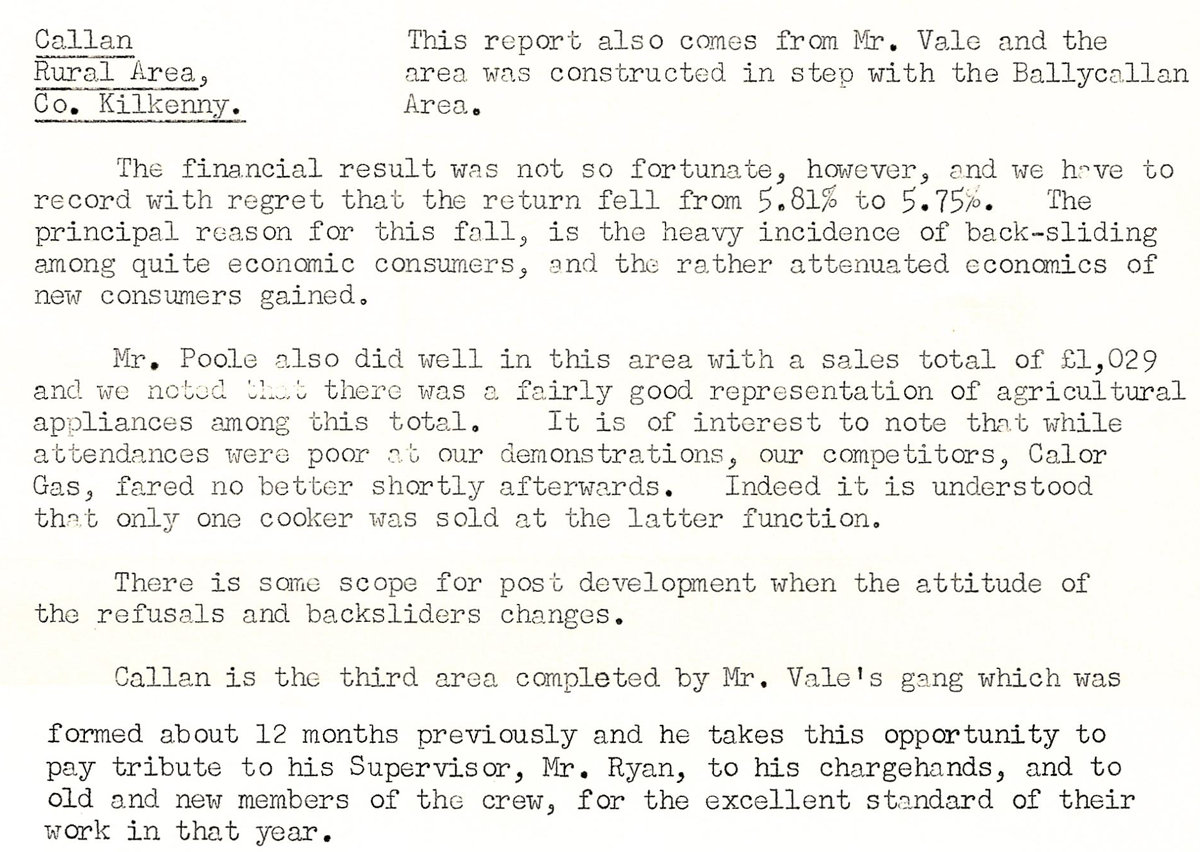
This digital scan from the REO News displays the following text:
“Callan Rural Area, Co. Kilkenny: This report also comes from Mr. Vale and the area was constructed in step with the Ballycallan Area.
The financial result was not so fortunate, however, and we have to record with regret that the return fell from 5.81% to 5.75%. The principal reason for this fall is the heavy incidence of back‑sliding among quite economic consumers, and the rather attenuated economics of new consumers gained.
Mr. Poole also did well in this area with a sales total of £1,029 and we noted that there was a fairly good representation of agricultural appliances among this total. It is of interest to note that while attendances were poor at our demonstrations, our competitors, Calor Gas, fared no better shortly afterwards. Indeed it is understood that only one cooker was sold at the latter function.
There is some scope for post development when the attitude of the refusals and backsliders changes.
Callan is the third area completed by Mr. Vale’s gang which was formed about 12 months previously and he takes this opportunity to pay tribute to his Supervisor, Mr. Ryan, to his chargehands, and to old and new members of the crew, for the excellent standard of their work in that year.”