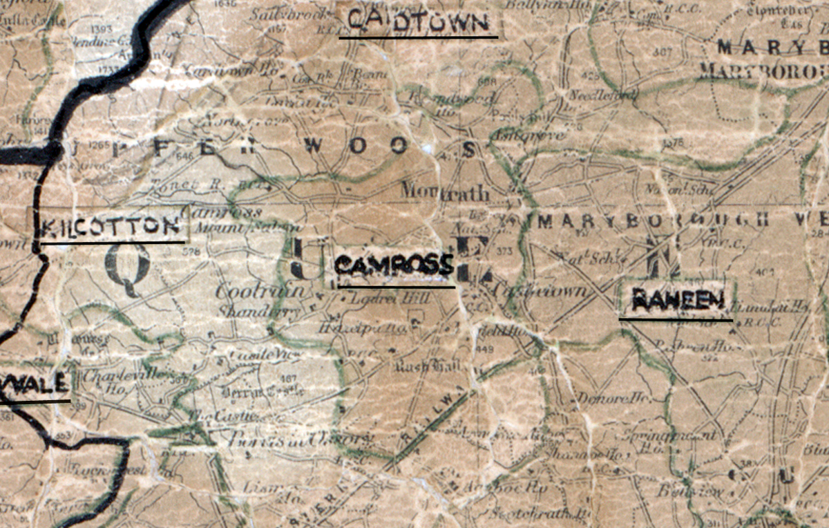
 Area: Camross
Started: September 1955
Finished: April 1956
Poles used: 1091
Line used (km): 98
Premises connected: 169
The figures above were sourced from our REO News magazine, to learn more about what these figures mean, visit our interactive map. The map above shows the area boundary and is from a digitised version of the original map used during the scheme.
Camross was not a very prosperous area according to The REO News from July 1956.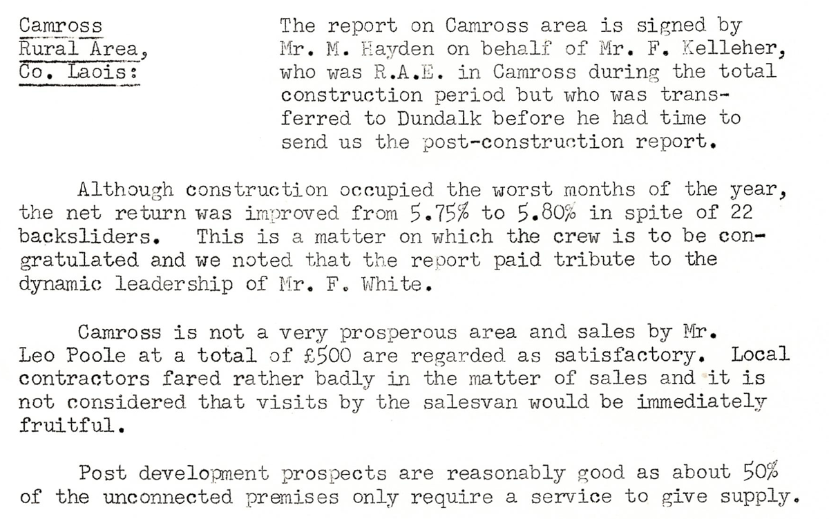 This digital scan from the REO News displays the following text:
"Camross Rural Area, Co. Laois: The report on Camross area is signed by Mr. M. Hayden on behalf of Mr. F. Kelleher, who was R.A.E. in Camross during the total construction period but who was transferred to Dundalk before he had time to send us the post‑construction report.
Although construction occupied the worst months of the year, the net return was improved from 5.75% to 5.80% in spite of 22 backsliders. This is a matter on which the crew is to be congratulated and we noted that the report paid tribute to the dynamic leadership of Mr. F. White.
Camross is not a very prosperous area and sales by Mr. Leo Poole at a total of £500 are regarded as satisfactory. Local contractors fared rather badly in the matter of sales and it is not considered that visits by the salesvan would be immediately fruitful.
Post development prospects are reasonably good as about 50% of the unconnected premises only require a service to give supply."