 Area: Carbury
Started: June 1954
Finished: April 1955
Poles used: 1070
Line used (km): 104
Premises connected: 330
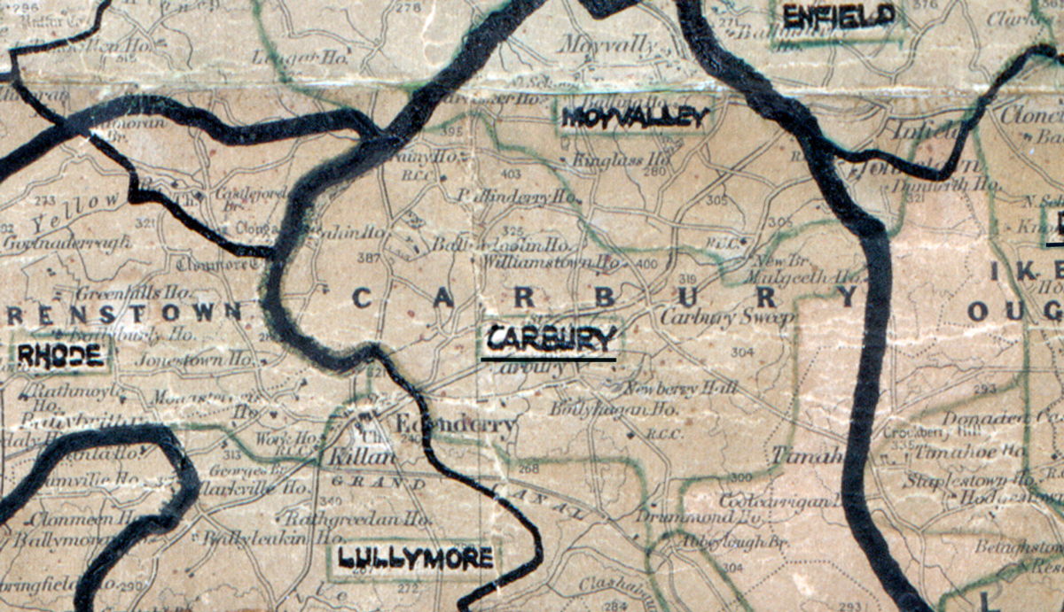
The figures above were sourced from our REO News magazine, to learn more about what these figures mean, visit our interactive map. The map above shows the area boundary and is from a digitised version of the original map used during the scheme.
The REO News from June 1955 reports no unusual difficulties in Carbury.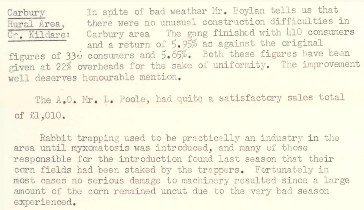 This digital scan from the REO News displays the following text:
"Carbury Rural Area, Co. Kildare: In spite of bad weather Mr. Boylan tells us that there were no unusual construction difficulties in Carbury area. The gang finished with 410 consumers and a return of 5.95% as against the original figures of 336 consumers and 5.65%. Both these figures have been given at 22% overheads for the sake of uniformity. The improvement well deserves honourable mention.
The A.O., Mr. L. Poole, had quite a satisfactory sales total of £1,010.
Rabbit trapping used to be practically an industry in the area until myxomatosis was introduced, and many of those responsible for the introduction found last season that their corn fields had been staked by the trappers. Fortunately in most cases no serious damage to machinery resulted since a large amount of the corn remained uncut due to the very bad season experienced."