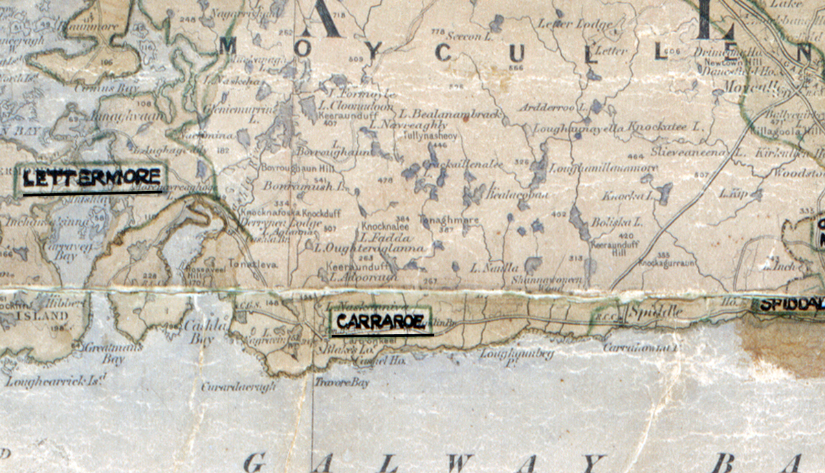
 Area: Carraroe
Started: July 1956
Finished: October 1957
Poles used: 1018
Line used (km): 82
Premises connected: 362
A scanned, worn historical map from the 1940s of the rural electrification area around [Area Name]. A hand‑drawn boundary outlines the region. Unfortunately no further information is available for this area in the REO magazine.
As we work through the process of digitising our collections, if we find any other content for this area then we will publish it here.