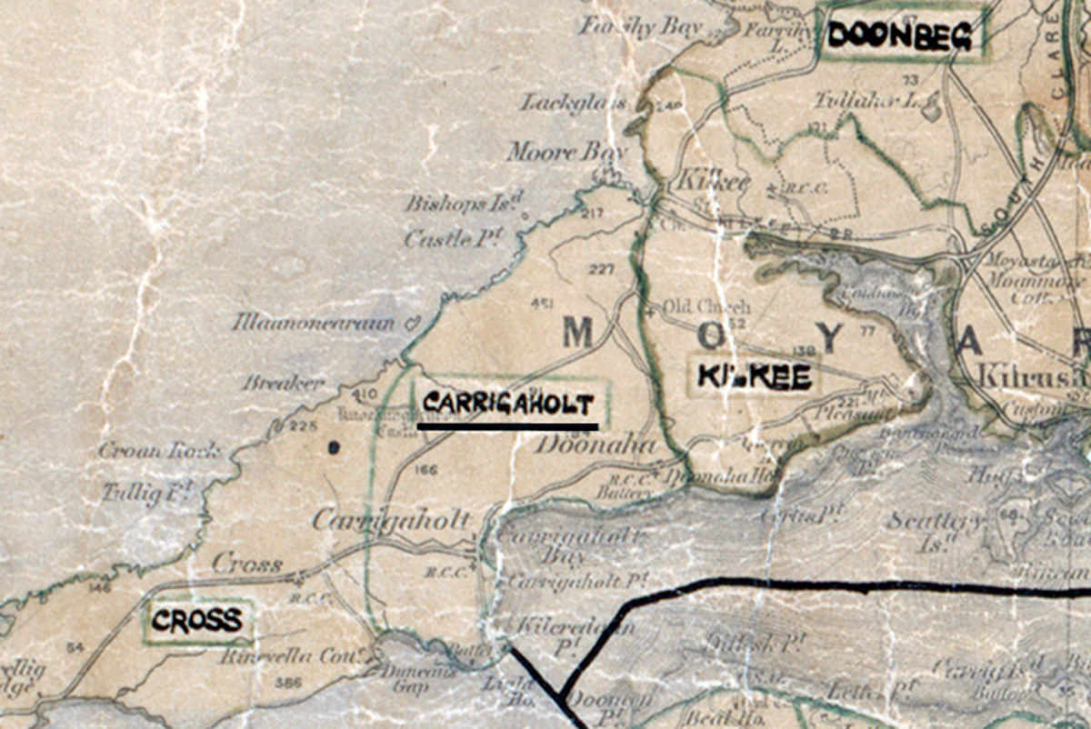
 Area: Carrigaholt
Started: March 1952
Finished: November 1952
Poles used: 589
Line used (km): 63
Premises connected: 89
The figures above were sourced from our REO News magazine, to learn more about what these figures mean, visit our interactive map. The map above shows the area boundary and is from a digitised version of the original map used during the scheme.
Carrigaholt was an area of very small farms according to The REO News from February 1953.
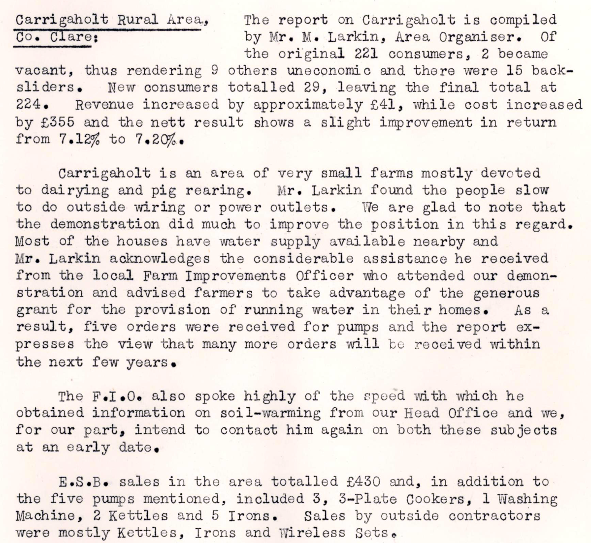 This digital scan from the REO News displays the following text:
“Carrigaholt Rural Area, Co. Clare: The report on Carrigaholt is compiled by Mr. M. Larkin, Area Organiser. Of the original 221 consumers, 2 became vacant, thus rendering 9 others uneconomic and there were 15 backsliders. New consumers totalled 29, leaving the final total at 224. Revenue increased by approximately £41, while cost increased by £355 and the nett result shows a slight improvement in return from 7.12% to 7.20%.
Carrigaholt is an area of very small farms mostly devoted to dairying and pig rearing. Mr. Larkin found the people slow to do"