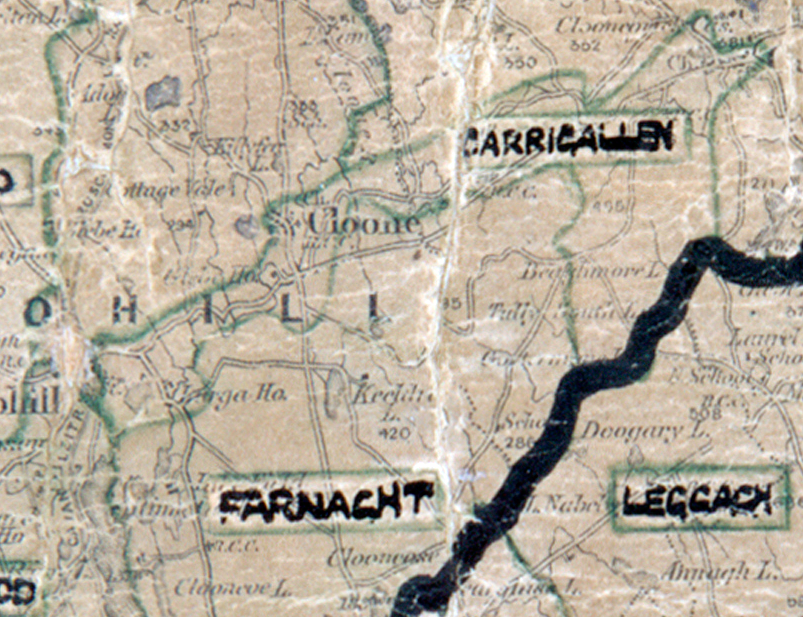
 Area: Carrigallen
Started: December 1947
Finished: August 1948
Poles used: 779
Line used (km): 58
Premises connected: 168
The figures above were sourced from our REO News magazine, to learn more about what these figures mean, visit our interactive map. The map above shows the area boundary and is from a digitised version of the original map used during the scheme.
A demonstration in Carrigallen proved popular as noted in The REO News from June 1948. This digital scan from the REO News displays the following text:
“Carrigallen, 3rd June: A demonstration was held on the evening of the day supply was made available. The local committee complimented the construction crew on the speed at which the work was carried out. The small hall was packed to capacity.”