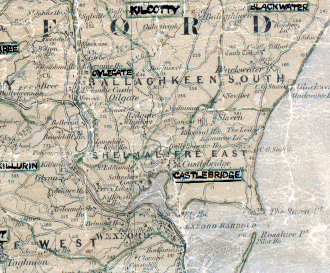
 Area: Castlebridge
Started: December 1952
Finished: April 1953
Poles used: 950
Line used (km): 70
Premises connected: 54
The figures above were sourced from our REO News magazine, to learn more about what these figures mean, visit our interactive map. The map above shows the area boundary and is from a digitised version of the original map used during the scheme.
A television set was used to draw the crowds at a demonstration in Castlebridge as reported in The REO News from July 1953.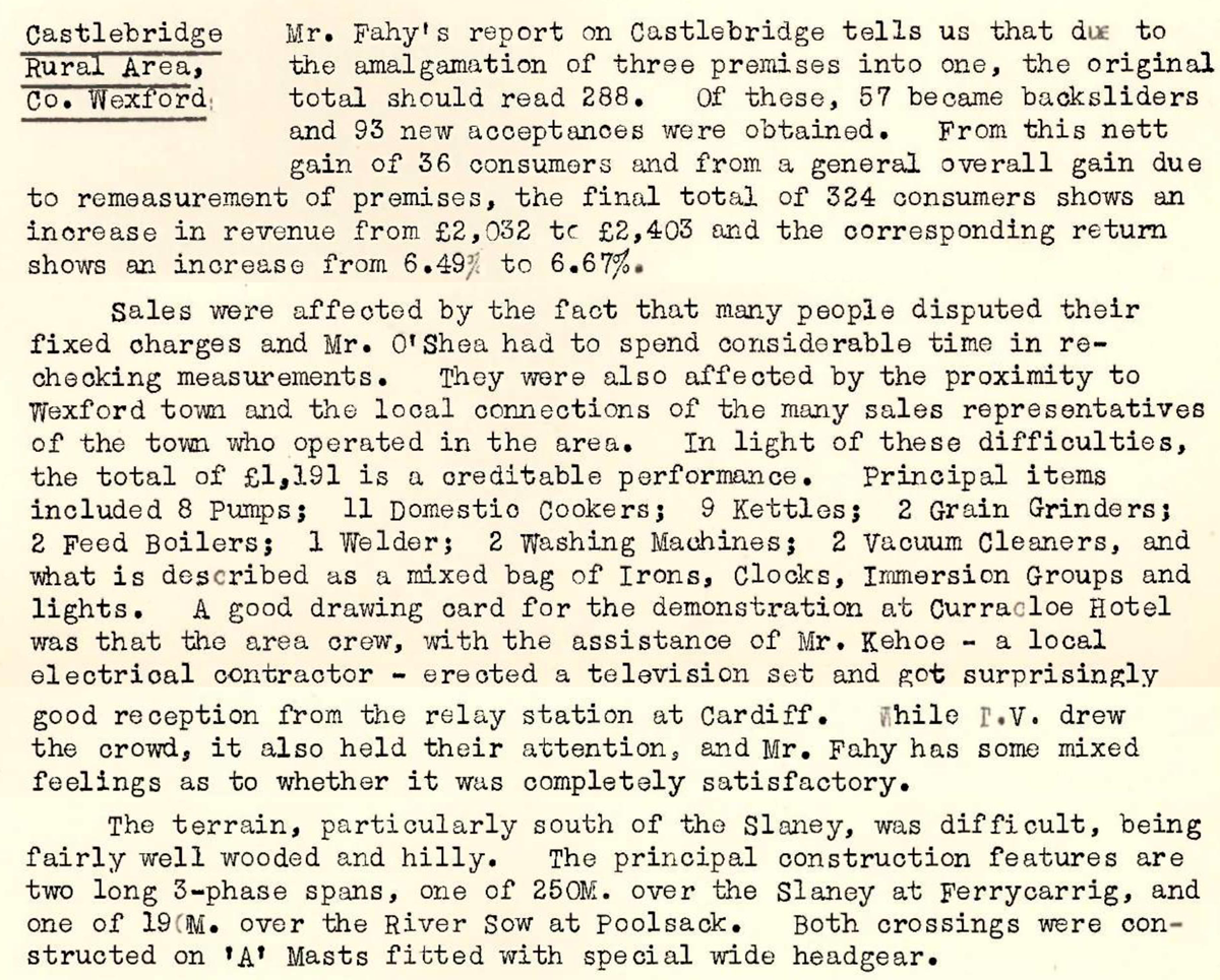 This digital scan from the REO News displays the following text:
“Castlebridge Rural Area, Co. Wexford: Mr. Fahy’s report on Castlebridge tells us that due to the amalgamation of three premises into one, the original total should read 288. Of these, 57 were backsliders and 93 new acceptances were obtained. From this nett gain of 36 consumers and from a general overall gain due to remeasurement of premises, the final total of 324 consumers shows an increase in revenue from £2,032 to £2,403 and the corresponding return shows an increase from 6.49% to 6.67%.
Sales were affected by the fact that many people disputed their fixed charges and Mr. O’Shea had to spend considerable time in re‑checking measurements. They were also affected by the proximity to Wexford town and the local connections of the many sales representatives of the town who operated in the area. In light of these difficulties, the total of £1,191 is a creditable performance. Principal items included 8 Pumps; 11 Domestic Cookers; 9 Kettles; 2 Grain Grinders; 2 Feed Boilers; 1 Welder; 2 Washing Machines; 2 Vacuum Cleaners, and what is described as a mixed bag of Irons, Clocks, Immersion Groups and lights. A good drawing card for the demonstration at Curracloe Hotel was that the area crew, with the assistance of Mr. Kehoe – a local electrical contractor – erected a television set and got surprisingly good reception from the relay station at Cardiff. While I.V. drew the crowd, it also held their attention, and Mr. Fahy has some mixed feelings as to whether it was completely satisfactory.
The terrain, particularly south of the Slaney, was difficult, being fairly well wooded and hilly. The principal construction features are two long 3‑phase spans, one of 250 m.c. over the Slaney at Ferrycarrig, and one of 19 m.c. over the River Sow at Poolsok. Both these crossings were constructed on ‘A’ Masts fitted with special wide headgear.”