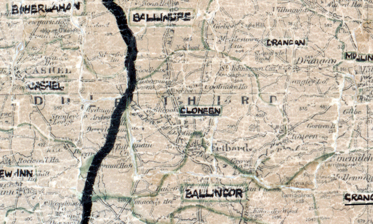
 Area: Cloneen
Started: June 1954
Finished: November 1954
Poles used: 948
Line used (km): 89
Premises connected: 193
The figures above were sourced from our REO News magazine, to learn more about what these figures mean, visit our interactive map. The map above shows the area boundary and is from a digitised version of the original map used during the scheme.
The REO News from March 1955 gives credit to the mapping man in Cloneen.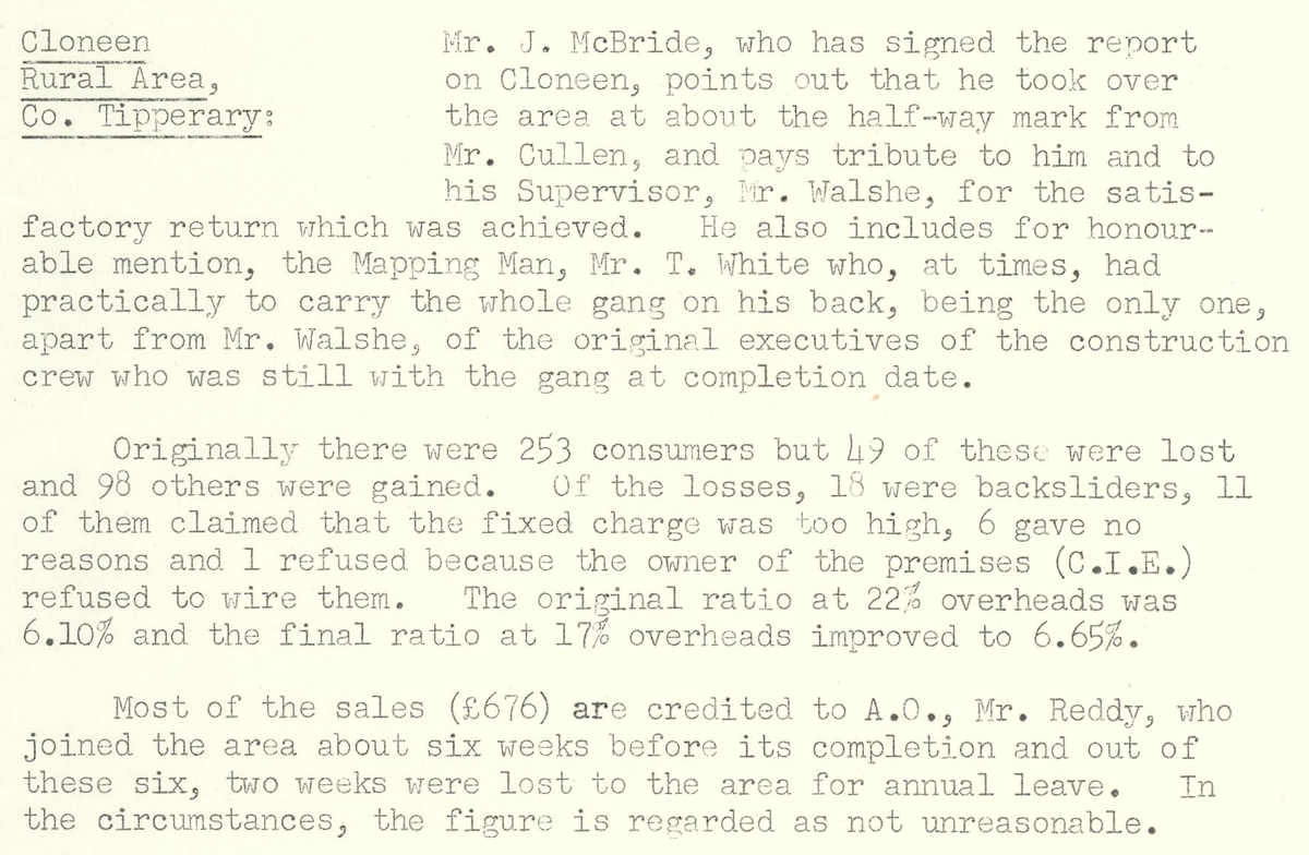 This digital scan from the REO News displays the following text:
“Cloneen Rural Area, Co. Tipperary: Mr. J. McBride, who has signed the report on Cloneen, points out that he took over the area at about the half‑way mark from Mr. Cullen, and pays tribute to him and to his Supervisor, Mr. Walshe, for the satisfactory return which was achieved. He also includes for honourable mention, the Mapping Man, Mr. T. White who, at times, had practically to carry the whole gang on his back, being the only one, apart from Mr. Walshe, of the original executives of the construction crew who was still with the gang at completion date.
Originally there were 253 consumers but 49 of these were lost and 98 others were gained. Of the losses, 18 were backsliders, 11 of them claimed that the fixed charge was too high, 6 gave no reasons and 1 refused because the owner of the premises (C.I.E.) refused to wire them. The original ratio at 22% overheads was 6.10% and the final ratio at 17% overheads improved to 6.65%.
Most of the sales (£676) are credited to A.O., Mr. Reddy, who joined the area about six weeks before its completion and out of these six, two weeks were lost to the area for annual leave. In the circumstances, the figure is regarded as not unreasonable.”