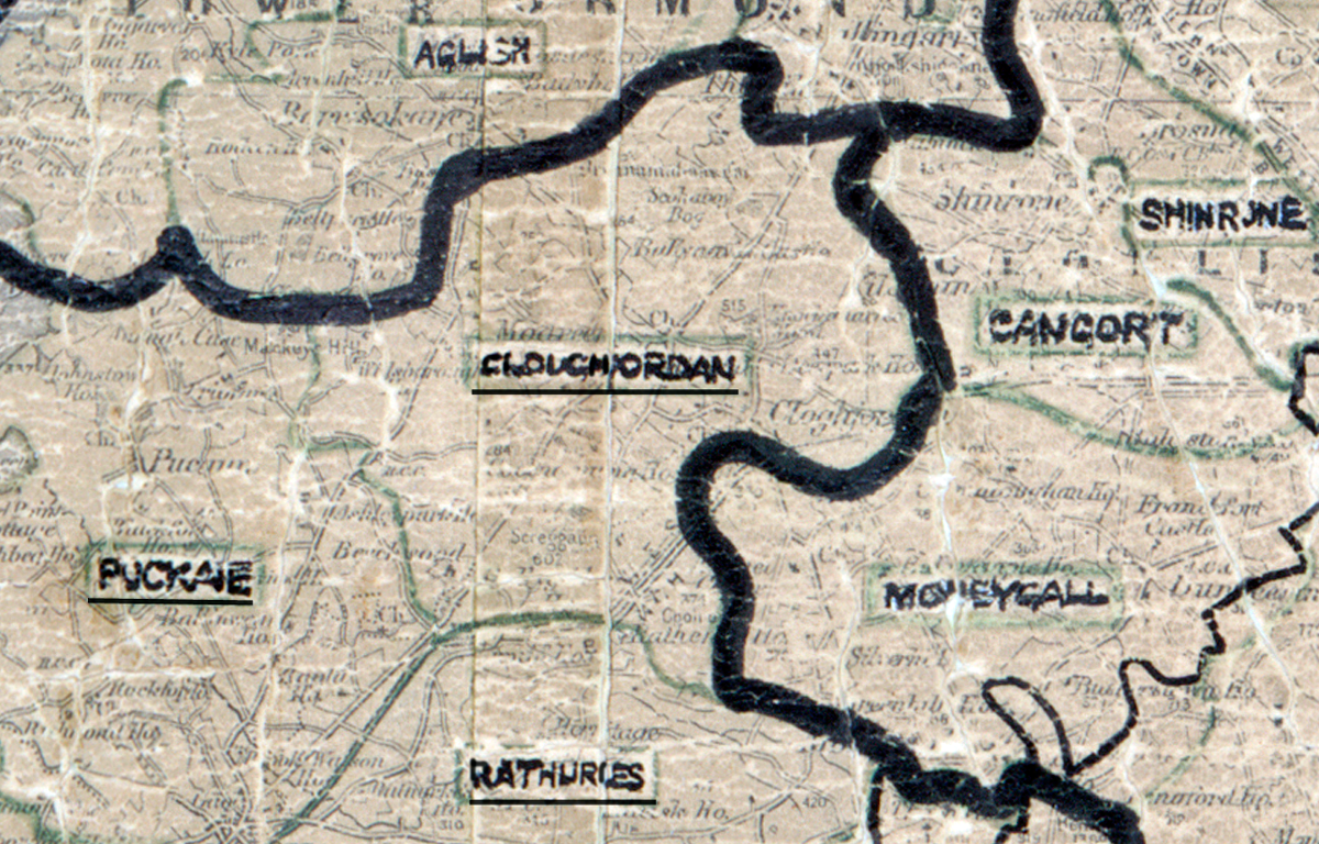
 Area: Cloughjordan
Started: September 1955
Finished: January 1957
Poles used: 1380
Line used (km): 139
Premises connected: 224
The figures above were sourced from our REO News magazine, to learn more about what these figures mean, visit our interactive map. The map above shows the area boundary and is from a digitised version of the original map used during the scheme. Unfortunately no further information is available for this area in the REO magazine.
Timber and rock proved to be troublesome in Cloughjordan according to The REO News from March 1957.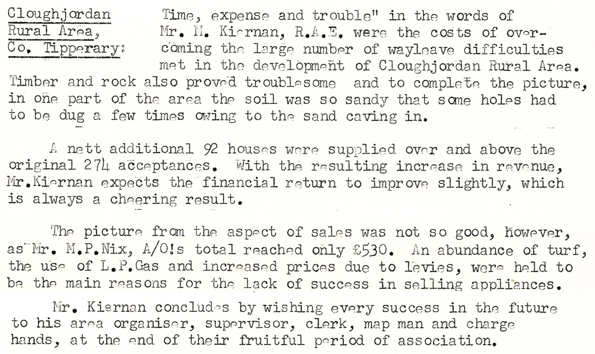 This digital scan from the REO News displays the following text:
“Cloughjordan Rural Area, Co. Tipperary: ‘Time, expense and trouble’ in the words of Mr. M. Kiernan, R.A.E., were the costs of overcoming the large number of wayleave difficulties met in the development of Cloughjordan Rural Area. Timber and rock also proved troublesome and to complete the picture, in one part of the area the soil was so sandy that some holes had to be dug a few times owing to the sand caving in.
A nett additional 92 houses were supplied over and above the original 274 acceptances. With the resulting increase in revenue, Mr. Kiernan expects the financial return to improve slightly, which is always a cheering result.
The picture from the aspect of sales was not so good, however, as Mr. M. P. Nix, A.O.’s total reached only £530. An abundance of turf, the use of L.P. Gas and increased prices due to levies, were held to be the main reasons for the lack of success in selling appliances.
Mr. Kiernan concludes by wishing every success in the future to his area organiser, supervisor, clerk, map man and charge hands, at the end of their fruitful period of association.”