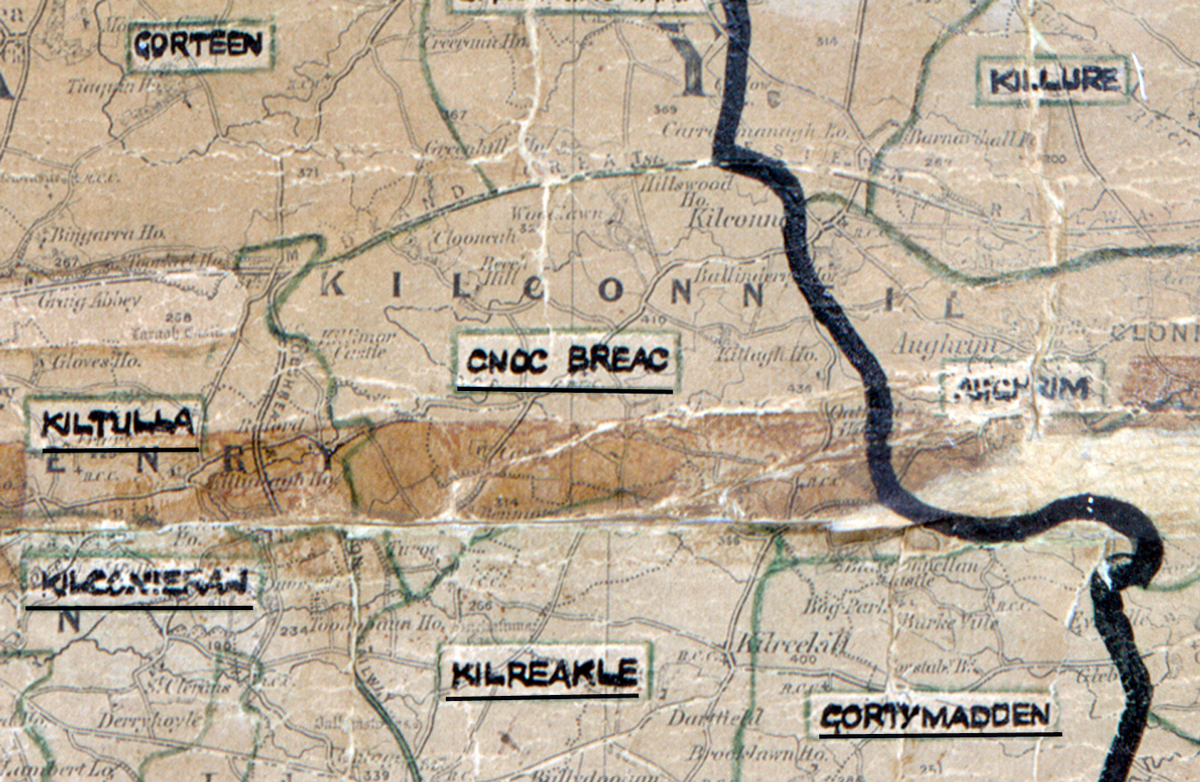
 Area: Cnoc Breac
Started: December 1954
Finished: June 1955
Poles used: 914
Line used (km): 92
Premises connected: 229
The figures above were sourced from our REO News magazine, to learn more about what these figures mean, visit our interactive map page. The map above shows the area boundary and is from a digitised version of the original map used during the scheme.
The REO News from September 1955 tells us that waterlogged holes were a problem in Cnoc Breac.
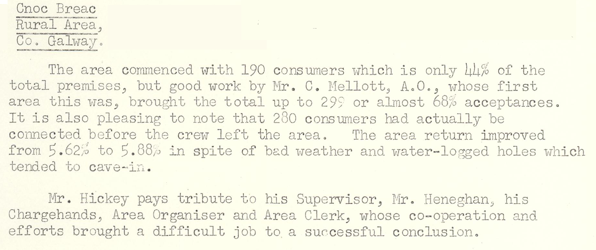
This digital scan from the REO News displays the following text:
"Cnoc Breac Rural Area, Co. Galway: The area commenced with 190 consumers which is only 44% of the total premises, but good work by Mr. C. Mellott, A.O., whose first area this was, brought the total up to 299 or almost 68% acceptances. It is also pleasing to note that 280 consumers had actually been connected before the crew left the area. The area return improved from 5.62% to 5.88% in spite of bad weather and water‑logged holes which tended to cave‑in.
Mr. Hickey pays tribute to his Supervisor, Mr. Heneghan, his Chargehands, Area Organiser and Area Clerk, whose co‑operation and efforts brought a difficult job to a successful conclusion."