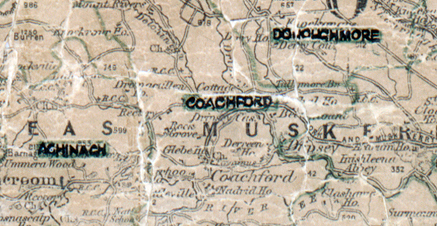
 Area: Coachford
Started: January 1949
Finished: January 1950
Poles used: 893
Line used (km): 79
Premises connected: 263
The figures above were sourced from our REO News magazine, to learn more about what these figures mean, visit our interactive map. The map above shows the area boundary and is from a digitised version of the original map used during the scheme.
The REO News from December 1949 reports on a small wager in Coachford. This digital scan from the REO News displays the following text:
"At the Demonstration in Coachford, one lady visitor made a small wager with our boys that she would produce a shirt so dirty as to be beyond the capabilities of the Washing Machine on display. The challenge was accepted and the lady produced the shirt belonging to the engine driver on a threshing machine. It was a specimen to daunt the bravest, but our Area Organiser rolled up his sleeves in the most professional manner and, with the timely patter of a top‑class salesman, put the machine to the test. The result was a dazzling white shirt and a lady, no longer doubting, who paid up cheerfully!
We are told that in most parts of the country the washing machine is actually more popular with our lady customers than the electric cooker."