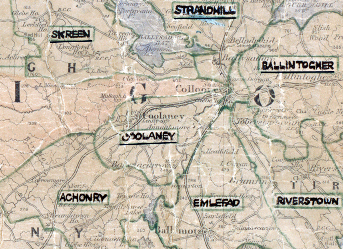
 Area: Coolaney
Started: December 1953
Finished: March 1954
Poles used: 677
Line used (km): 59
Premises connected: 33
The figures above were sourced from our REO News magazine, to learn more about what these figures mean, visit our interactive map. The map above shows the area boundary and is from a digitised version of the original map used during the scheme.
The REO News from April 1954 reports that there was a problem with backsliders in Coolaney.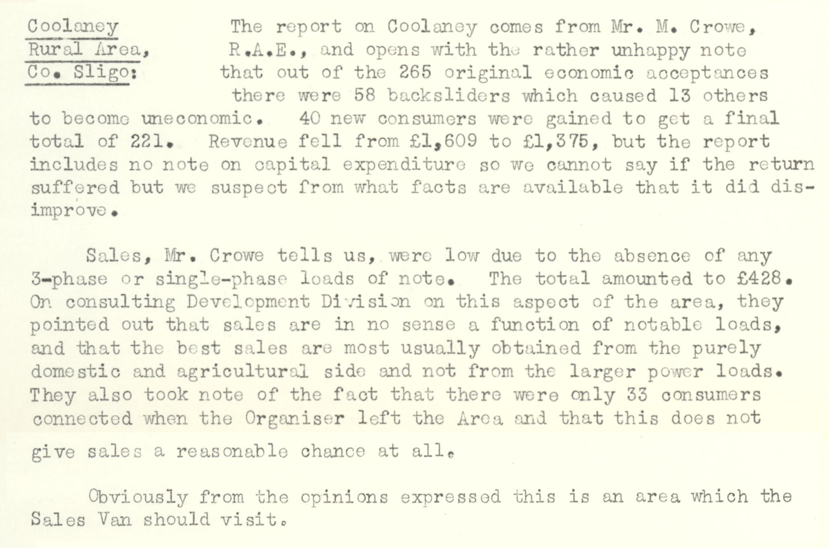 This digital scan from the REO News displays the following text:
"Coolaney Rural Area, Co. Sligo: The report on Coolaney comes from Mr. M. Crowe, R.A.E., and opens with the rather unhappy note that out of the 265 original economic acceptances there were 58 backsliders which caused 13 others to become uneconomic. 40 new consumers were gained to get a final total of 221. Revenue fell from £1,609 to £1,375, but the report includes no note on capital expenditure so we cannot say if the return suffered but we suspect from what facts are available that it did disimprove.
Sales, Mr. Crowe tells us, were low due to the absence of any 3‑phase or single‑phase loads of note. The total amounted to £428. On consulting Development Division on this aspect of the area, they pointed out that sales are in no sense a function of notable loads, and that the best sales are most usually obtained from the purely domestic and agricultural side and not from the larger power loads. They also took note of the fact that there were only 33 consumers connected when the Organiser left the Area and that this does not give sales a reasonable chance at all.
Obviously from the opinions expressed this is an area which the Sales Van should visit."