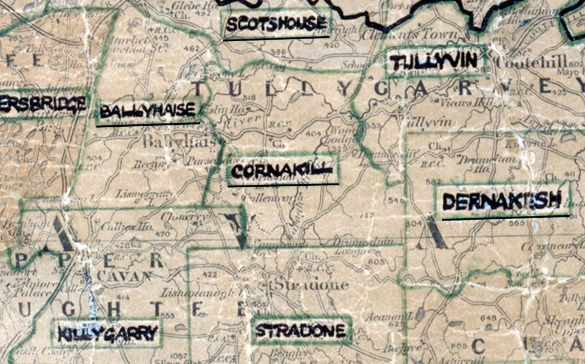
 Area: Cornakill
Started: June 1956
Finished: January 1957
Poles used: 1550
Line used (km): 116
Premises connected: 127
The figures above were sourced from our REO News magazine, to learn more about what these figures mean, visit our interactive map page. The map above shows the area boundary and is from a digitised version of the original map used during the scheme.
The REO News from July 1957 outlined some of the obstacles in Cornakill.
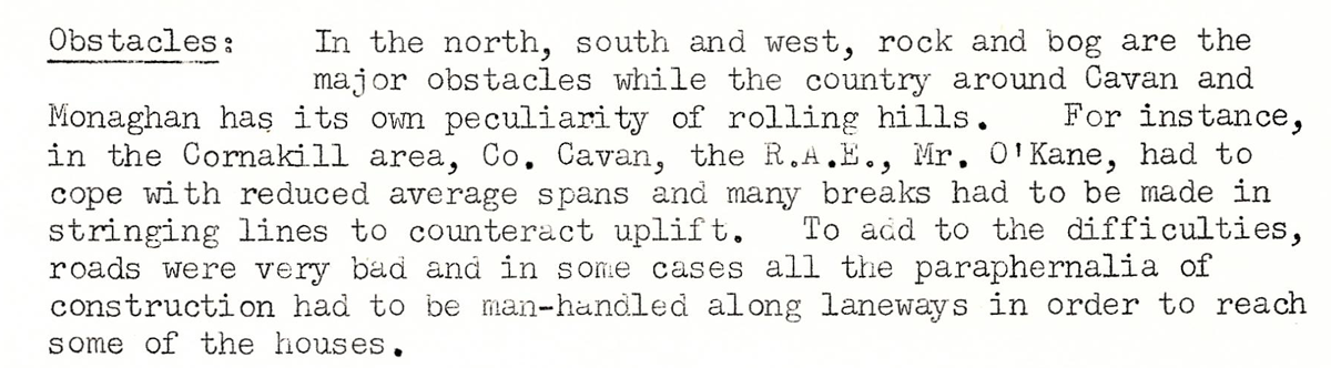
This digital scan from the REO News displays the following text:
"Obstacles: In the north, south and west, rock and bog are the major obstacles while the country around Cavan and Monaghan has its own peculiarity of rolling hills. For instance, in the Cornakill area, Co. Cavan, the R.A.E., Mr. O’Kane, had to cope with reduced average spans and many breaks had to be made in stringing lines to counteract uplift. To add to the difficulties, roads were very bad and in some cases all the paraphernalia of construction had to be man‑handled along laneways in order to reach some of the houses."