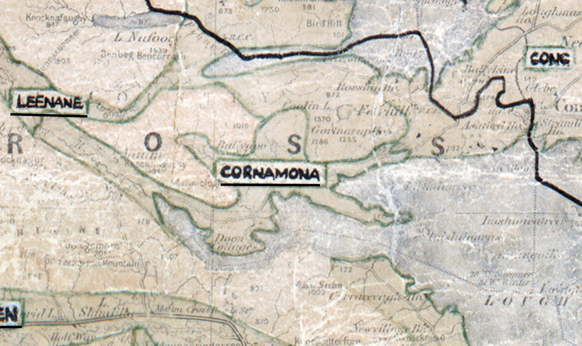
 Area: Cornamona
Started: June 1956
Finished: December 1956
Poles used: 608
Line used (km): 50
Premises connected: 141
The figures above were sourced from our REO News magazine, to learn more about what these figures mean, visit our interactive map page. The map above shows the area boundary and is from a digitised version of the original map used during the scheme.
The REO News from March 1957 tells us about the natural beauty of the scenery in Cornamona.
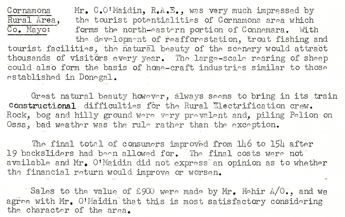
This digital scan from the REO News displays the following text:
"Cornamona Rural Area, Co. Mayo: Mr. C. O’Maidin, R.A.E., was very much impressed by the tourist potentialities of Cornamona area which forms the north‑eastern portion of Connemara. With the development of reafforestation, trout fishing and tourist facilities, the natural beauty of the scenery would attract thousands of visitors every year. The large‑scale rearing of sheep could also form the basis of home‑craft industries similar to those established in Donegal.
Great natural beauty however, always seems to bring in its train constructional difficulties for the Rural Electrification crew. Rock, bog and hilly ground were very prevalent and, piling Pelion on Ossa, bad weather was the rule rather than the exception.
The final total of consumers improved from 146 to 154, after 19 backsliders had been allowed for. The final costs were not available and Mr. O’Maidin did not express an opinion as to whether the financial return would improve or worsen.
Sales to the value of £900 were made by Mr. Hehir A/O, and we agree with Mr. O’Maidin that this is most satisfactory considering the character of the area."