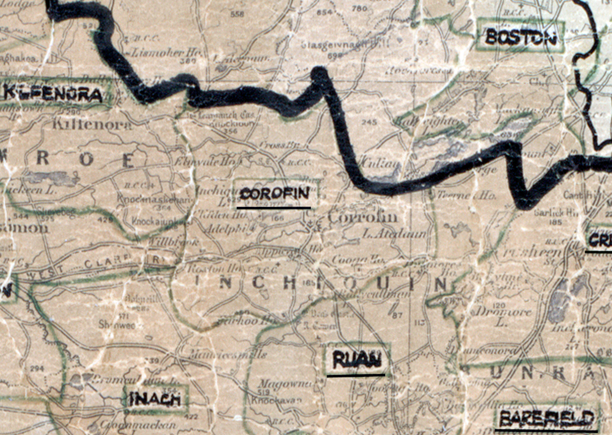
 Area: Corofin
Started: August 1953
Finished: April 1954
Poles used: 936
Line used (km): 91
Premises connected: 295
The figures above were sourced from our REO News magazine, to learn more about what these figures mean, visit our interactive map. The map above shows the area boundary and is from a digitised version of the original map used during the scheme.
The REO News from June 1954 informs us that sixty kettles were sold in Corofin
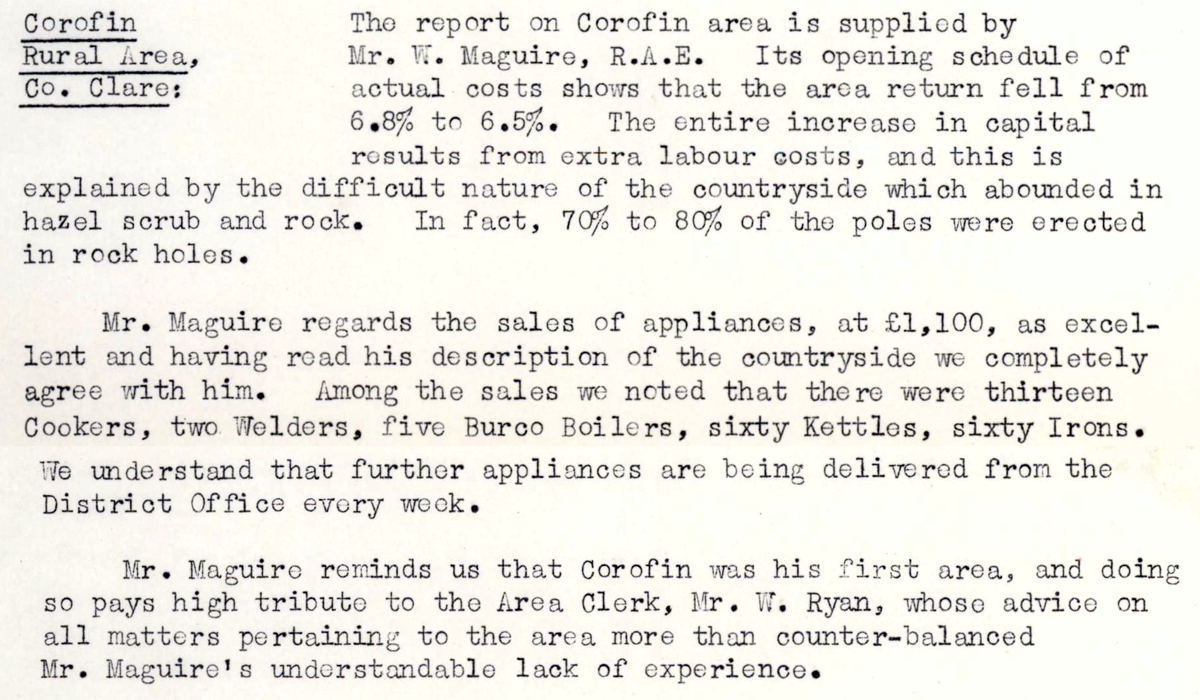 This digital scan from the REO News displays the following text:
"Corofin Rural Area, Co. Clare: The report on Corofin area is supplied by Mr. W. Maguire, R.A.E. Its opening schedule of actual costs shows that the area return fell from 6.8% to 6.5%. The entire increase in capital results from extra labour costs, and this is explained by the difficult nature of the countryside which abounded in hazel scrub and rock. In fact, 70% to 80% of the poles were erected in rock holes.
Mr. Maguire regards the sales of appliances, at £1,100, as excellent and having read his description of the countryside we completely agree with him. Among the sales we noted that there were thirteen Cookers, two Welders, five Burco Boilers, sixty Kettles, sixty Irons. We understand that further appliances are being delivered from the District Office every week.
Mr. Maguire reminds us that Corofin was his first area, and doing so pays high tribute to the Area Clerk, Mr. W. Ryan, whose advice on all matters pertaining to the area more than counter‑balanced Mr. Maguire’s understandable lack of experience."