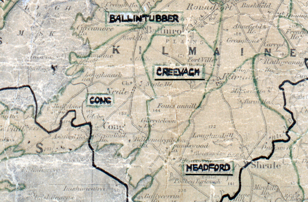
 Area: Creevagh
Started: December 1954
Finished: December 1955
Poles used: 772
Line used (km): 76
Premises connected: 150
The figures above were sourced from our REO News magazine, to learn more about what these figures mean, visit our interactive map. The map above shows the area boundary and is from a digitised version of the original map used during the scheme.
The REO News from April 1956 reports that the good weather helped in Creevagh.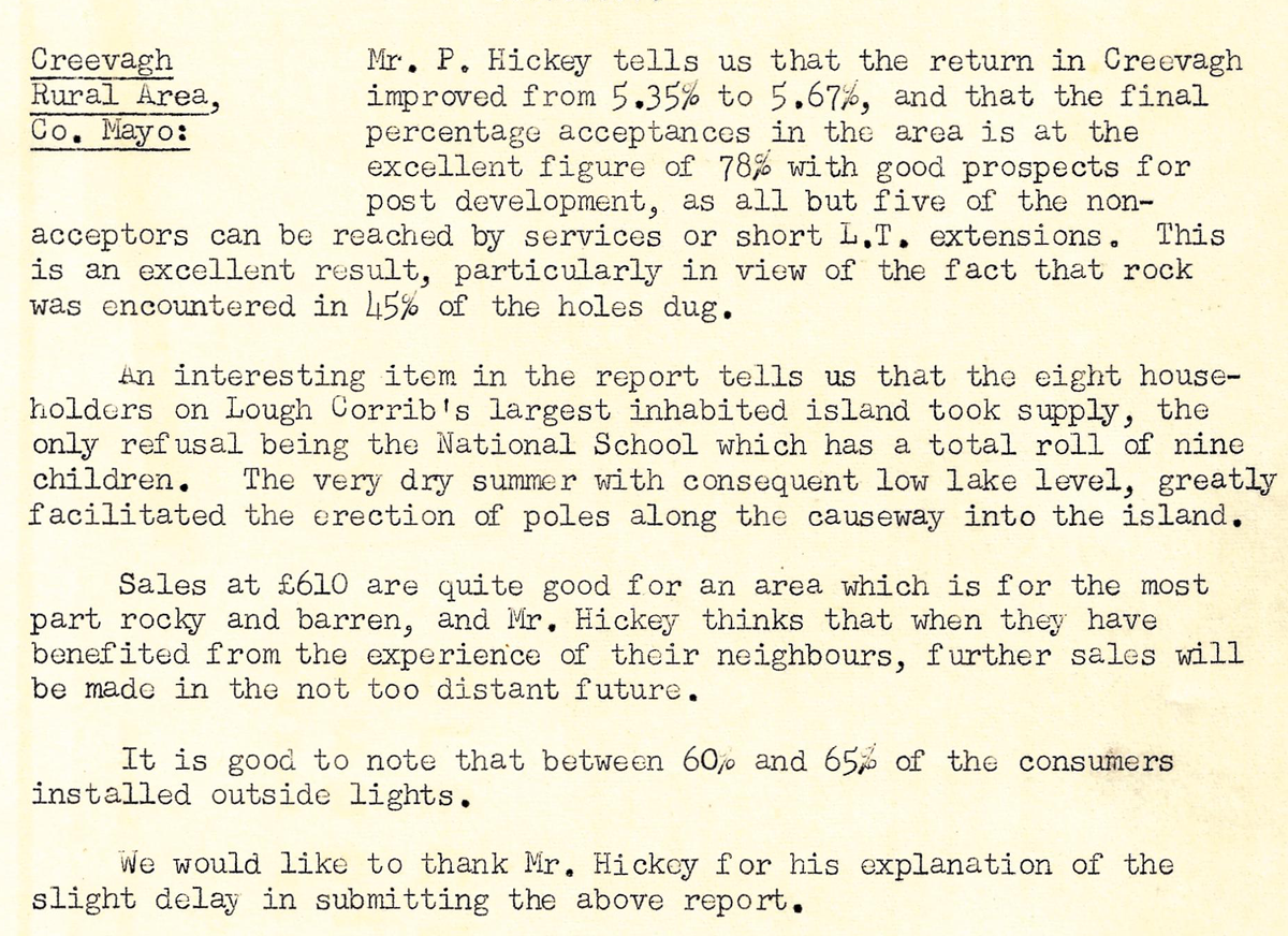 This digital scan from the REO News displays the following text:
“Creevagh Rural Area, Co. Mayo: Mr. P. Hickey tells us that the return in Creevagh improved from 5.35% to 5.67%, and that the final percentage acceptances in the area is at the excellent figure of 78% with good prospects for post development, as all but five of the non‑acceptors can be reached by services or short L.T. extensions. This is an excellent result, particularly in view of the fact that rock was encountered in 45% of the holes dug.
An interesting item in the report tells us that the eight householders on Lough Corrib’s largest inhabited island took supply, the only refusal being the National School which has a total roll of nine children. The very dry summer with consequent low lake level, greatly facilitated the erection of poles along the causeway into the island.
Sales at £610 are quite good for an area which is for the most part rocky and barren, and Mr. Hickey thinks that when they have benefited from the experience of their neighbours, further sales will be made in the not too distant future.
It is good to note that between 60% and 65% of the consumers installed outside lights.
We would like to thank Mr. Hickey for his explanation of the slight delay in submitting the above report.”