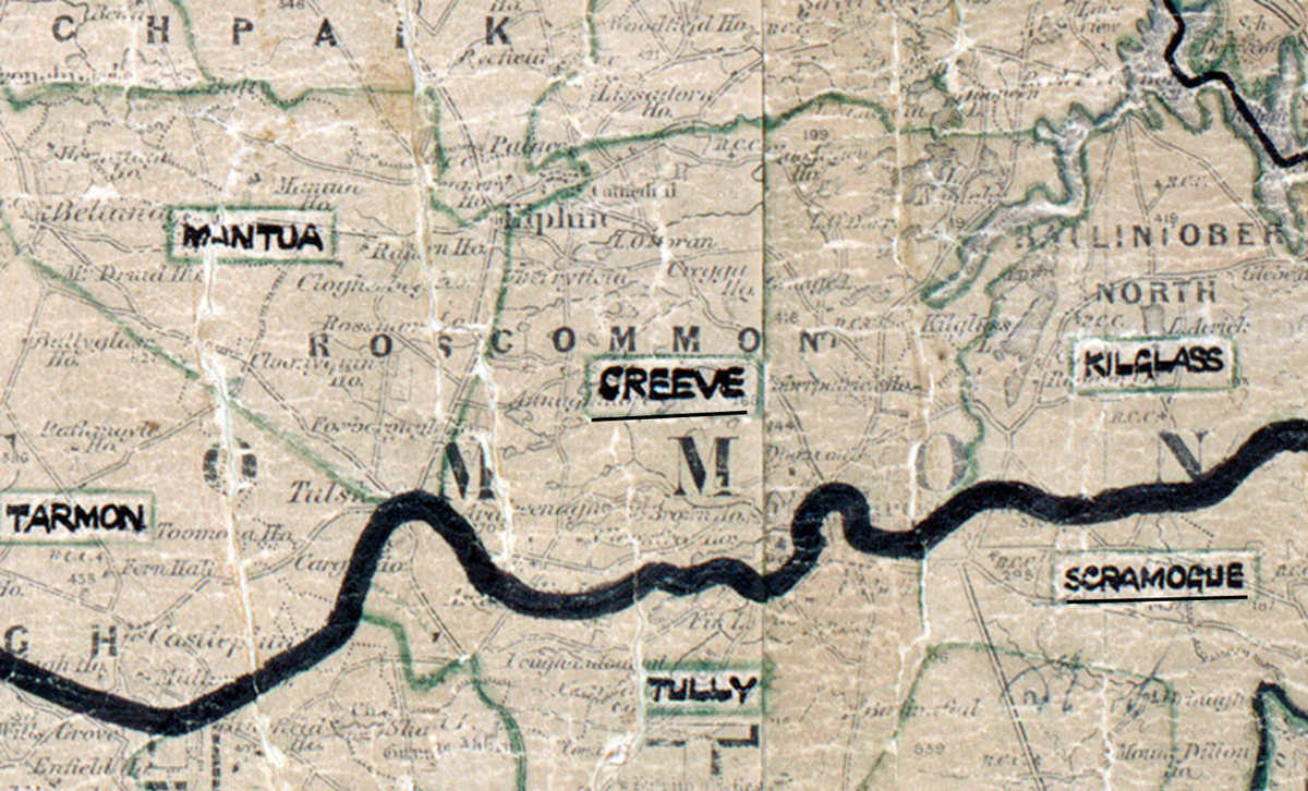
 Area: Creeve
Started: August 1954
Finished: May 1955
Poles used: 1638
Line used (km): 146
Premises connected: 523
The figures above were sourced from our REO News magazine, to learn more about what these figures mean, visit our interactive map. The map above shows the area boundary and is from a digitised version of the original map used during the scheme.
The weather was anything but pleasant during construction in Creeve as reported in The REO News from July 1955.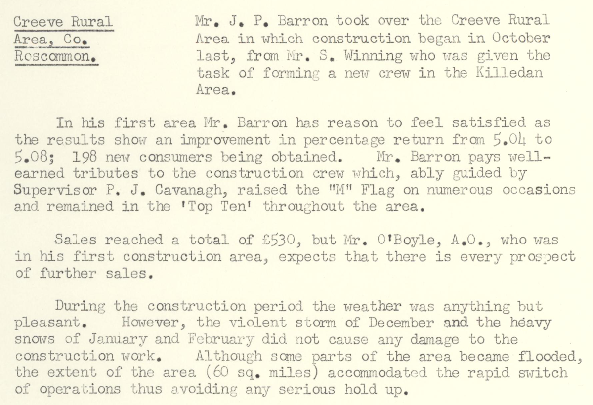 This digital scan from the REO News displays the following text:
"Creeve Rural Area, Co. Roscommon: Mr. J.P. Barron took over the Creeve Rural Area in which construction began in October last, from Mr. S. Winning who was given the task of forming a new crew in the Killedan Area.
In his first area Mr. Barron has reason to feel satisfied as the results show an improvement in percentage return from 5.04% to 5.08; 198 new consumers being obtained. Mr. Barron pays well‑earned tributes to the construction crew which, ably guided by Supervisor P.J. Cavanagh, raised the “M” Flag on numerous occasions and remained in the ‘Top Ten’ throughout the area.
Sales reached a total of £530, but Mr. O’Boyle, A.O., who was in his first construction area, expects that there is every prospect of further sales.
During the construction period the weather was anything but pleasant. However, the violent storm of December and the heavy snows of January and February did not cause any damage to the construction work. Although some parts of the area became flooded, the extent of the area (60 sq. miles) accommodated the rapid switch of operations thus avoiding any serious hold up."