 Area: Cross
Started: June 1954
Finished: February 1955
Poles used: 672
Line used (km): 64
Premises connected: 154
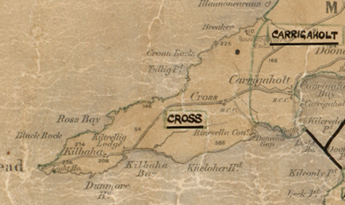
The figures above were sourced from our REO News magazine, to learn more about what these figures mean, visit our interactive map. The map above shows the area boundary and is from a digitised version of the original map used during the scheme.
The REO News from May 1955 reports that Cross was a windswept area.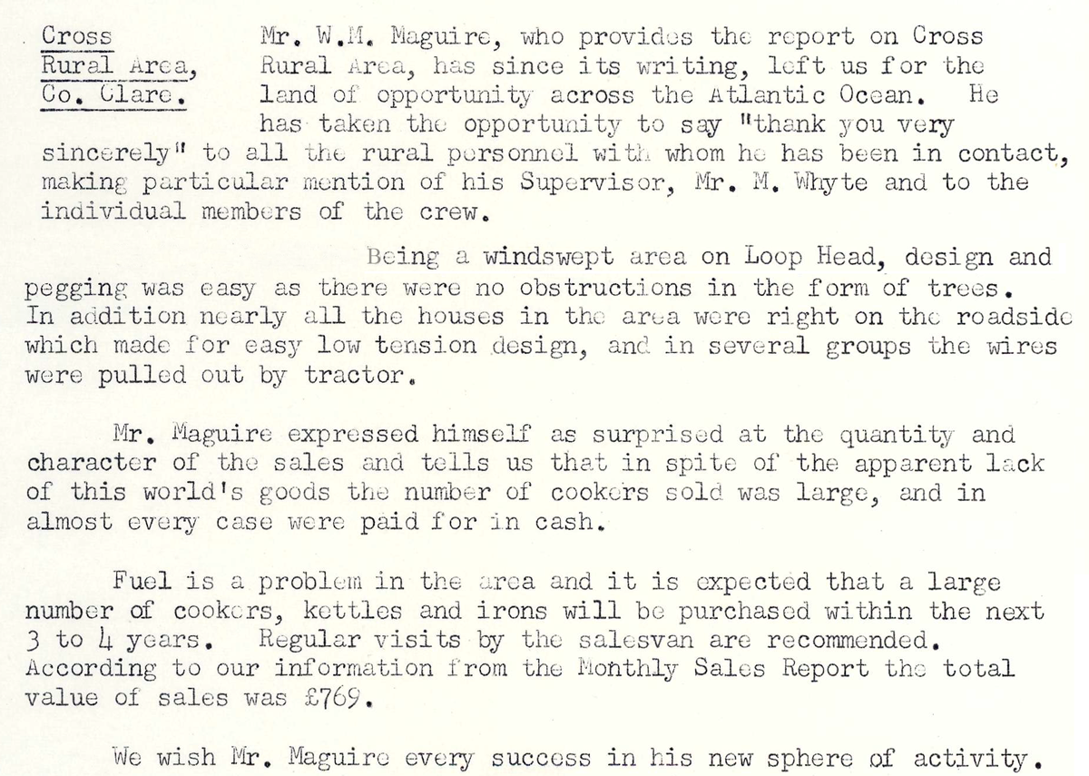 This digital scan from the REO News displays the following text:
“Cross Rural Area, Co. Clare: Mr. W. H. Maguire, who provides the report on Cross Rural Area, has since its writing, left us for the land of opportunity across the Atlantic Ocean. He has taken the opportunity to say ‘thank you very sincerely’ to all the rural personnel with whom he has been in contact, making particular mention of his Supervisor, Mr. M. Whyte and to the individual members of the crew.
Being a windswept area on Loop Head, design and pegging was easy as there were no obstructions in the form of trees. In addition nearly all the houses in the area were right on the roadside which made for easy low tension design, and in several groups the wires were pulled out by tractor.
Mr. Maguire expressed himself as surprised at the quantity and character of the sales and tells us that in spite of the apparent lack of this world’s goods the number of cookers sold was large, and in almost every case were paid for in cash.
Fuel is a problem in the area and it is expected that a large number of cookers, kettles and irons will be purchased within the next 3 to 4 years. Regular visits by the salesman are recommended. According to our information from the Monthly Sales Report the total value of sales was £769.
We wish Mr. Maguire every success in his new sphere of activity.”