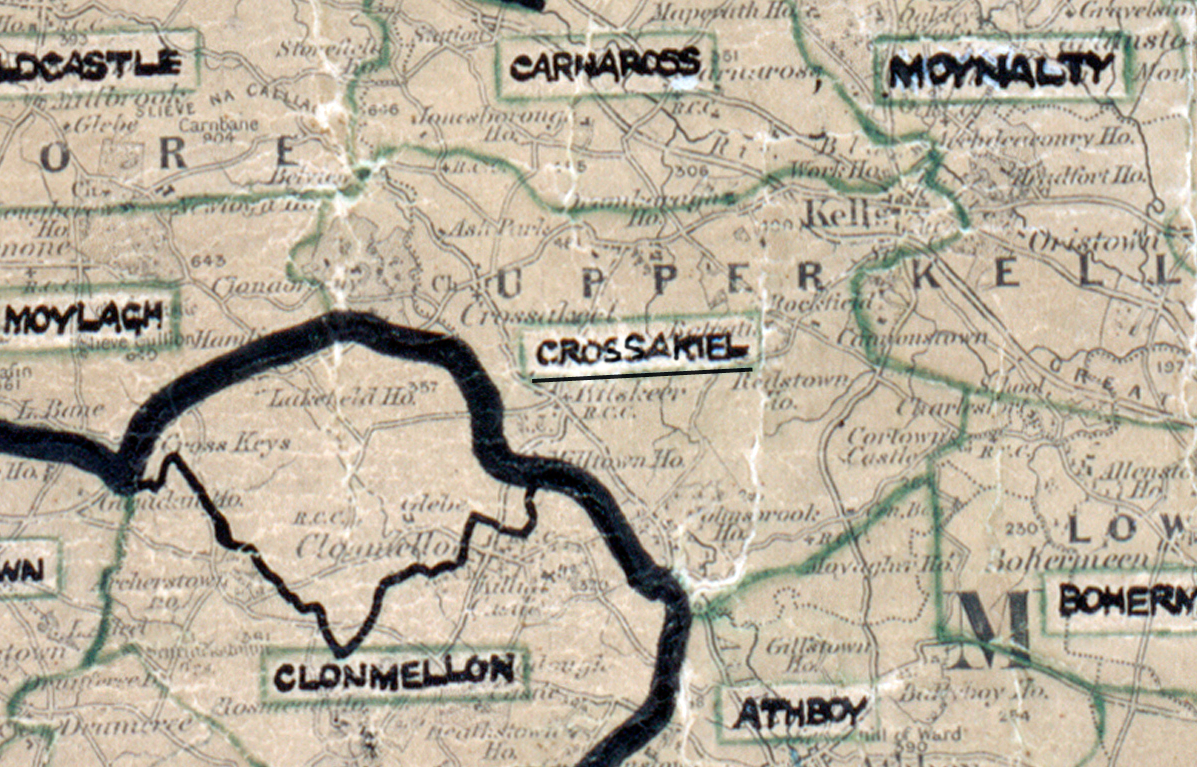
 Area: Crossakiel
Started: August 1950
Finished: March 1951
Poles used: 895
Line used (km): 91
Premises connected: 97
The figures above were sourced from our REO News magazine, to learn more about what these figures mean, visit our interactive map. The map above shows the area boundary and is from a digitised version of the original map used during the scheme.
There were some adverse weather conditions in Crossakiel according to The REO News from April 1951.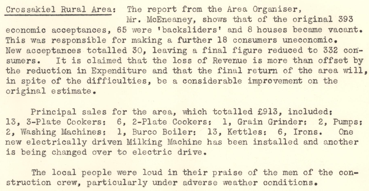 This digital scan from the REO News displays the following text:
"Crossakiel Rural Area: The report from the Area Organiser, Mr. McEneaney, shows that of the original 393 economic acceptances, 65 were ‘backsliders’ and 8 houses became vacant. This was responsible for making a further 18 consumers uneconomic. New acceptances totalled 30, leaving a final figure reduced to 332 consumers. It is claimed that the loss of Revenue is more than offset by the reduction in Expenditure and that the final return of the area will, in spite of the difficulties, be a considerable improvement on the original estimate.
Principal sales for the area, which totalled £913, included:
13, 3‑Plate Cookers:
6, 2‑Plate Cookers:
1, Grain Grinder:
2, Pumps:
2, Washing Machines:
1, Burco Boiler:
13, Kettles:
6, Irons.
One new electrically driven Milking Machine has been installed and another is being changed over to electric drive.
The local people were loud in their praise of the men of the construction crew, particularly under adverse weather conditions."