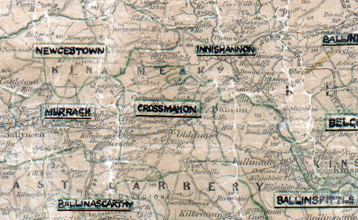
 Area: Crossmahon
Started: July 1956
Finished: November 1956
Poles used: 1028
Line used (km): 87
Premises connected: 186
The figures above were sourced from our REO News magazine, to learn more about what these figures mean, visit our interactive map. The map above shows the area boundary and is from a digitised version of the original map used during the scheme.
There was an abundance of rock and trees in Crossmahon according to The REO News from January 1957.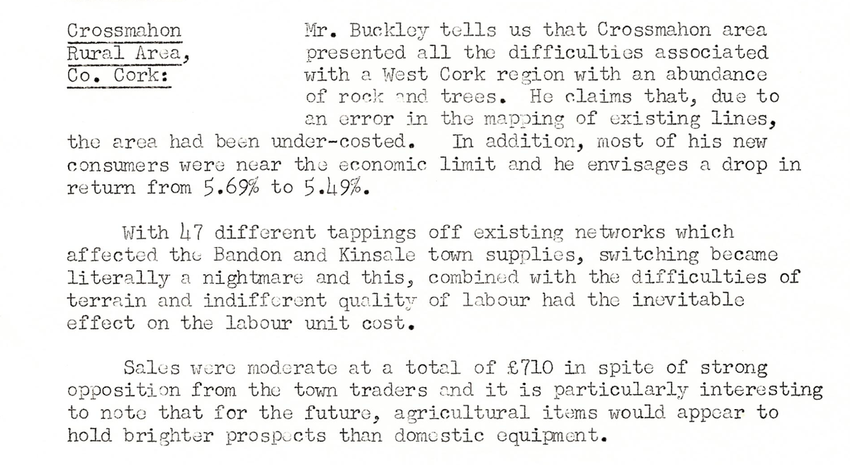 This digital scan from the REO News displays the following text:
"Crossmahon Rural Area, Co. Cork: Mr. Buckley tells us that Crossmahon area presented all the difficulties associated with a West Cork region with an abundance of rock and trees. He claims that, due to an error in the mapping of existing lines, the area had been under‑costed. In addition, most of his new consumers were near the economic limit and he envisages a drop in return from 5.69% to 5.49%.
With 47 different tappings off existing networks which affected the Bandon and Kinsale town supplies, switching became literally a nightmare and this, combined with the difficulties of terrain and indifferent quality of labour had the inevitable effect on the labour unit cost.
Sales were moderate at a total of £710 in spite of strong opposition from the town traders and it is particularly interesting to note that for the future, agricultural items would appear to hold brighter prospects than domestic equipment."