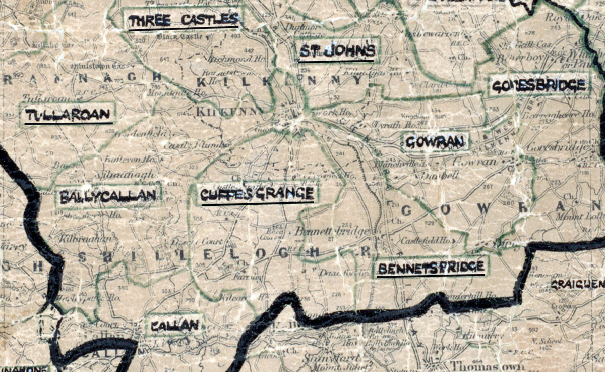
 Area: Cuffe’s Grange
Started: June 1954
Finished: July 1954
Poles used: 764
Line used (km): 73
Premises connected: 50
The figures above were sourced from our REO News magazine, to learn more about what these figures mean, visit our interactive map. The map above shows the area boundary and is from a digitised version of the original map used during the scheme.
We learn in The REO News from September 1954 that an auxiliary creamery was a consumer in Cuffe’s Grange.
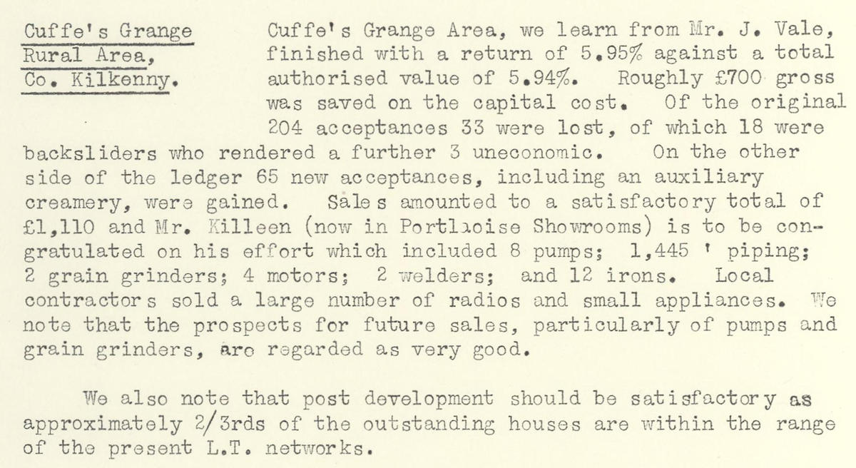 This digital scan from the REO News displays the following text:
“Cuffe’s Grange Rural Area, Co. Kilkenny: Cuffe’s Grange Area, we learn from Mr. J. Vale, finished with a return of 5.95% against a total authorised value of 5.94%. Roughly £700 gross was saved on the capital cost. Of the original 204 acceptances 33 were lost, of which 18 were backsliders who rendered a further 3 uneconomic. On the other side of the ledger 65 new acceptances, including an auxiliary creamery, were gained. Sales amounted to a satisfactory total of £1,110 and Mr. Killeen (now in Portlaoise Showrooms) is to be congratulated on his effort which included 8 pumps; 1,445' piping; 2 grain grinders; 4 motors; 2 welders; and 12 irons. Local contractors sold a large number of radios and small appliances. We note that the prospects for future sales, particularly of pumps and grain grinders, are regarded as very good.
We also note that post development should be satisfactory as approximately 2/3rds of the outstanding houses are within the range of the present L.T. networks.”