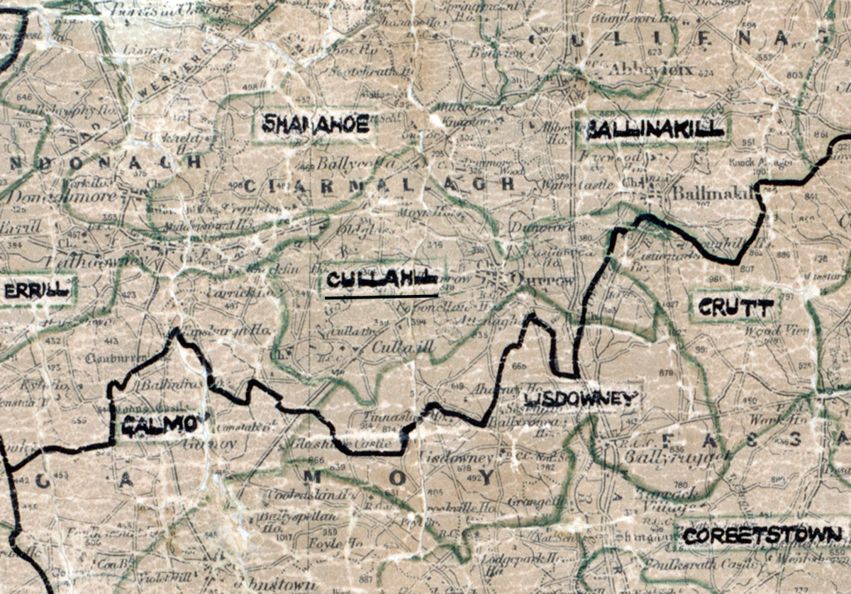
 Area: Cullahill
Started: September 1955
Finished: June 1956
Poles used: 1225
Line used (km): 101
Premises connected: 280
The figures above were sourced from our REO News magazine, to learn more about what these figures mean, visit our interactive map. The map above shows the area boundary and is from a digitised version of the original map used during the scheme.
Sales in Cullahill showed a good balance between domestic and agricultural appliances according to The REO News from August 1956.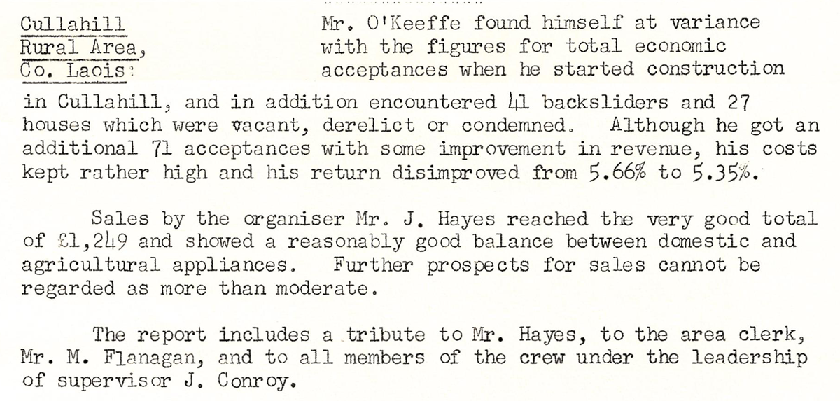 This digital scan from the REO News displays the following text:
"Cullahill Rural Area, Co. Laois: Mr. O’Keeffe found himself at variance with the figures for total economic acceptances when he started construction in Cullahill, and in addition encountered 41 backsliders and 27 houses which were vacant, derelict or condemned. Although he got an additional 71 acceptances with some improvement in revenue, his costs kept rather high and his return disimproved from 5.66% to 5.35%.
Sales by the organiser Mr. J. Hayes reached the very good total of £1,249 and showed a reasonably good balance between domestic and agricultural appliances. Further prospects for sales cannot be regarded as more than moderate.
The report includes a tribute to Mr. Hayes, to the area clerk, Mr. M. Flanagan, and to all members of the crew under the leadership of supervisor J. Conroy."