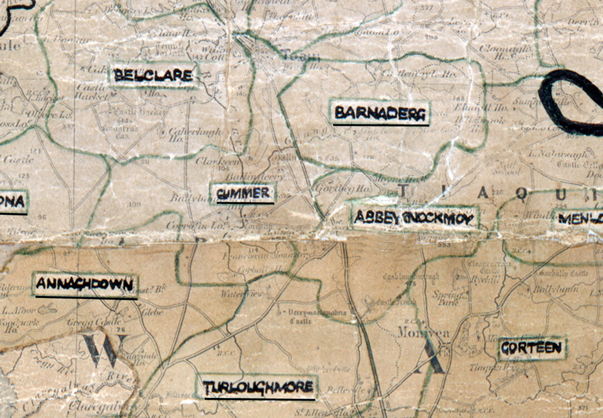
 Area: Cummer
Started: December 1953
Finished: May 1954
Poles used: 935
Line used (km): 91
Premises connected: 180
The figures above were sourced from our REO News magazine, to learn more about what these figures mean, visit our interactive map. The map above shows the area boundary and is from a digitised version of the original map used during the scheme.
There was a plentiful supply of labour in Cummer according to The REO News from July 1954
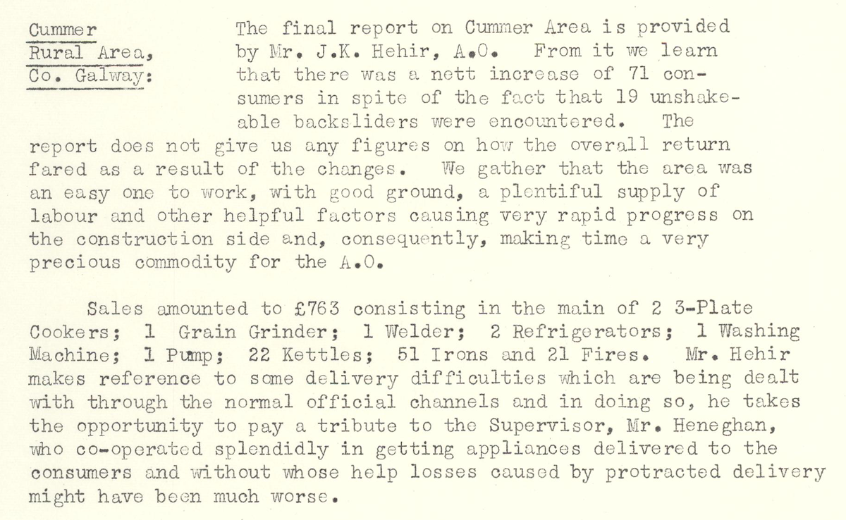
This digital scan from the REO News displays the following text:
"Cummer Rural Area, Co. Galway: The final report on Cummer Area is provided by Mr. J. K. Hehir, A.O. From it we learn that there was a nett increase of 71 consumers in spite of the fact that 19 unshakeable backsliders were encountered. The report does not give us any figures on how the overall return fared as a result of the changes. We gather that the area was an easy one to work, with good ground, a plentiful supply of labour and other helpful factors causing very rapid progress on the construction side and, consequently, making time a very precious commodity for the A.O.
Sales amounted to £763 consisting in the main of 2 3‑Plate Cookers; 1 Grain Grinder; 1 Welder; 2 Refrigerators; 1 Washing Machine; 1 Pump; 22 Kettles; 51 Irons and 21 Fires. Mr. Hehir makes reference to some delivery difficulties which are being dealt with through the normal official channels and in doing so, he takes the opportunity to pay a tribute to the Supervisor, Mr. Heneghan, who co‑operated splendidly in getting appliances delivered to the consumers and without whose help losses caused by protracted delivery might have been much worse."