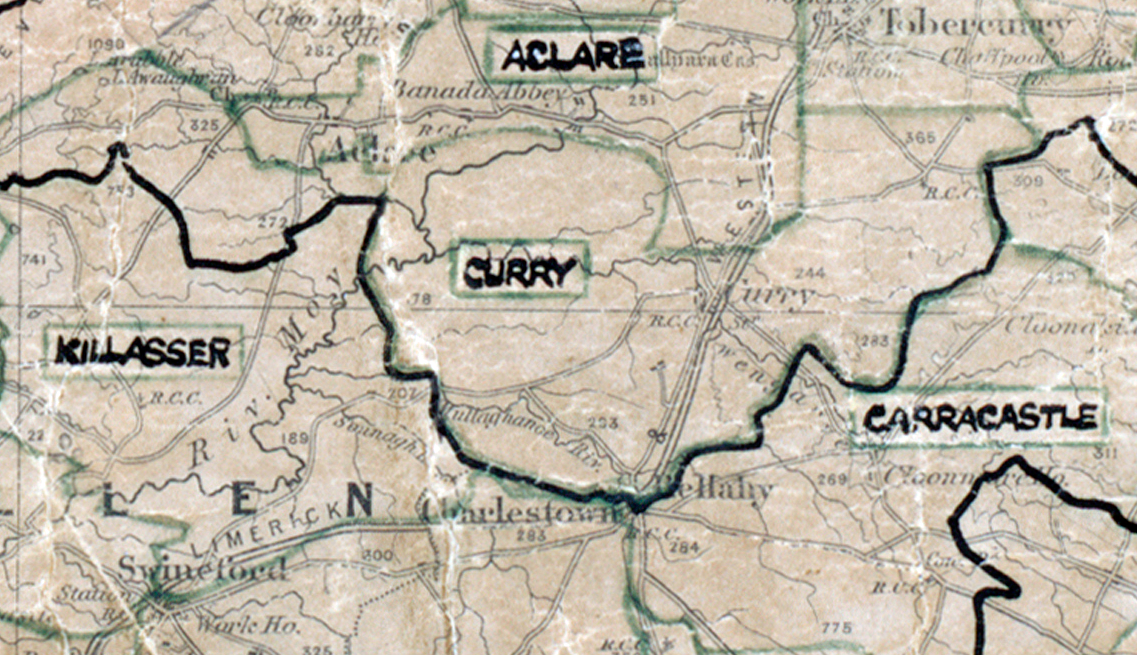
 Area: Curry
Started: June 1956
Finished: August 1956
Poles used: 1121
Line used (km): 106
Premises connected: 420
The figures above were sourced from our REO News magazine, to learn more about what these figures mean, visit our interactive map. The map above shows the area boundary and is from a digitised version of the original map used during the scheme.
Appliance sales were poor in Curry according to The REO News from September 1956. This digital scan from the REO News displays the following text:
"Curry Rural Area, Co. Sligo: We have to thank Mr. O’Conchubhair for a comprehensive final report on Curry rural area. The “watch‑dogs of cost and progress” found it of considerable assistance in assessing the results. For the purposes of these"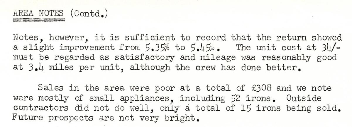 This digital scan from the REO News displays the following text:
"AREA NOTES (Contd.): Notes, however, it is sufficient to record that the return showed a slight improvement from 5.35% to 5.45%. The unit cost at 34/- must be regarded as satisfactory and mileage was reasonably good at 3.4 miles per unit, although the crew has done better.
Sales in the area were poor at a total of £308 and we note were mostly of small appliances, including 52 irons. Outside contractors did not do well, only a total of 15 irons being sold. Future prospects are not very bright."