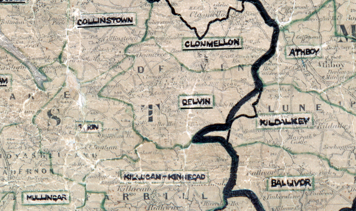
 Area: Delvin
Started: May 1950
Finished: October 1950
Poles used: 972
Line used (km): 84
Premises connected: 104
The figures above were sourced from our REO News magazine, to learn more about what these figures mean, visit our interactive map. The map above shows the area boundary and is from a digitised version of the original map used during the scheme.
The REO News from January 1951 reports that labour was scarce in Delvin.
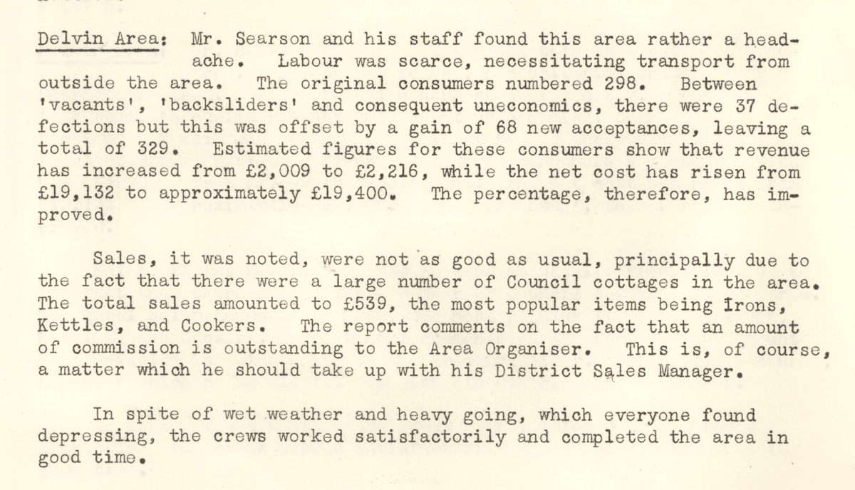
This digital scan from the REO News displays the following text:
"Delvin Area: Mr. Searson and his staff found this area rather a headache. Labour was scarce, necessitating transport from outside the area. The original consumers numbered 298. Between ‘vacants’, ‘backsliders’ and consequent uneconomics, there were 37 defections but this was offset by a gain of 68 new acceptances, leaving a total of 329. Estimated figures for these consumers show that revenue has increased from £2,009 to £2,216, while the net cost has risen from £19,132 to approximately £19,400. The percentage, therefore, has improved.
Sales, it was noted, were not as good as usual, principally due to the fact that there were a large number of Council cottages in the area. The total sales amounted to £539, the most popular items being Irons, Kettles, and Cookers. The report comments on the fact that an amount of commission is outstanding to the Area Organiser. This is, of course, a matter which he should take up with his District Sales Manager.
In spite of wet weather and heavy going, which everyone found depressing, the crews worked satisfactorily and completed the area in good time."