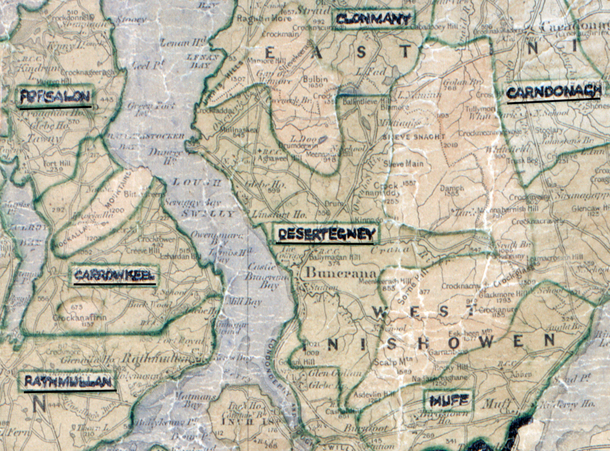
 Area: Desertegney
Started: December 1955
Finished: June 1956
Poles used: 1417
Line used (km): 128
Premises connected: 410
The figures above were sourced from our REO News magazine, to learn more about what these figures mean, visit our interactive map. The map above shows the area boundary and is from a digitised version of the original map used during the scheme.
Desertegney is rocky country interspersed with stretches of bog according to The REO News from July 1956.
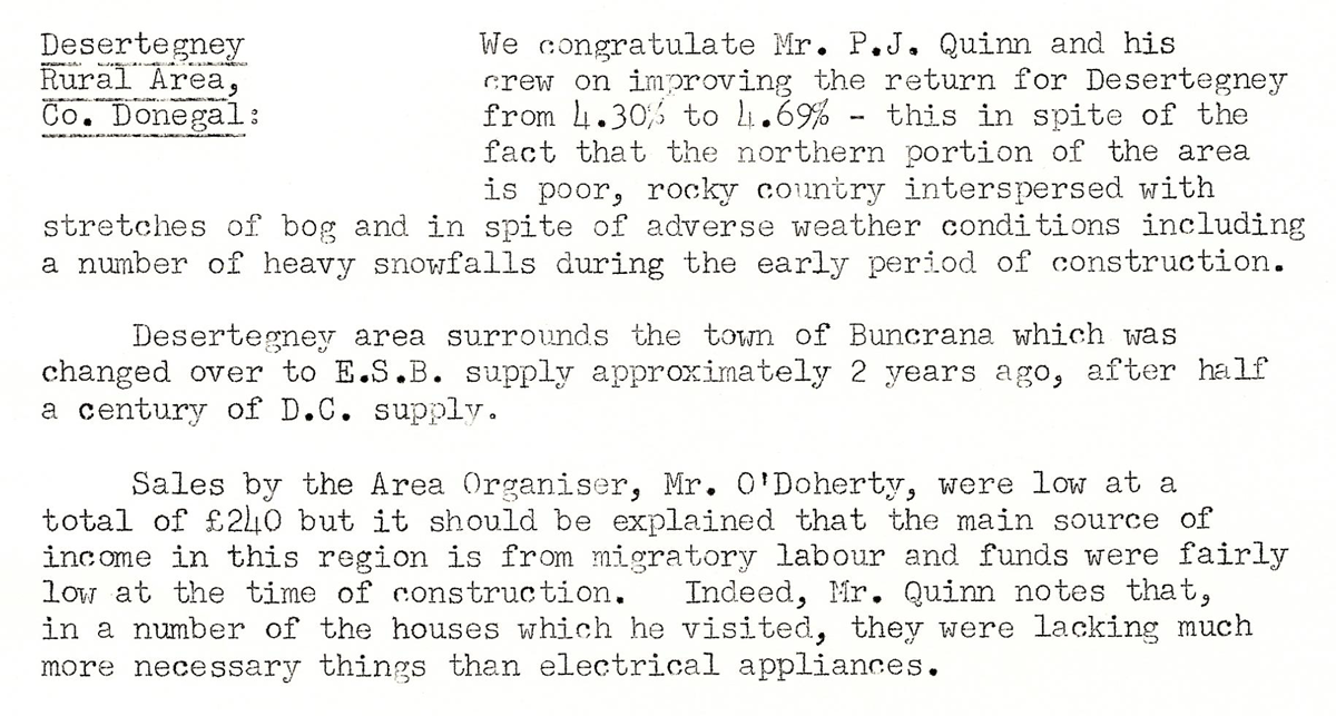
This digital scan from the REO News displays the following text:
"Desertegney Rural Area, Co. Donegal: We congratulate Mr. P. J. Quinn and his crew on improving the return for Desertegney from 4.30% to 4.69% – this in spite of the fact that the northern portion of the area is poor, rocky country interspersed with stretches of bog and in spite of adverse weather conditions including a number of heavy snowfalls during the early period of construction.
Desertegney area surrounds the town of Buncrana which was changed over to E.S.B. supply approximately 2 years ago, after half a century of D.C. supply.
Sales by the Area Organiser, Mr. O’Doherty, were low at a total of £240 but it should be explained that the main source of income in this region is from migratory labour and funds were fairly low at the time of construction. Indeed, Mr. Quinn notes that, in a number of the houses which he visited, they were lacking much more necessary things than electrical appliances."